What is recorded here
The official Northern Ireland record identifies this as Fishtrap. Recorded period: UNCERTAIN. The official map point was placed at the centre of the recorded archaeological site from the source map reference.
The monument record does not grant public access. Check the route and ask the landowner before entering private land.
- What survives
- Recorded monument
Places near here
 WWII PILLBOXWWII PILLBOX, DHP no.3 · 72 yd
 Rock PoolPublic Baths · 82 yd
 RiverVisitor information · 250 yd
 Donard Car ParkVisitor information · 416 yd
 HISTORIC SETTLEMENT: NEWCASTLE in Murlough UpperHISTORIC SETTLEMENT: NEWCASTLE · 440 yd
 Bath LaneWalking route · 529 yd
 CASTLE (destroyed) in Murlough UpperCASTLE (destroyed) · 725 yd
 Beach AvenueWalking route · 913 yd
 Donard ForestForest · 1171 yd
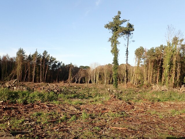 Tipperary WoodsForest · 1555 yd
 DrinnahillyMountain / peak · 1610 yd
 Black StairsWaterfall · 1.1 mi