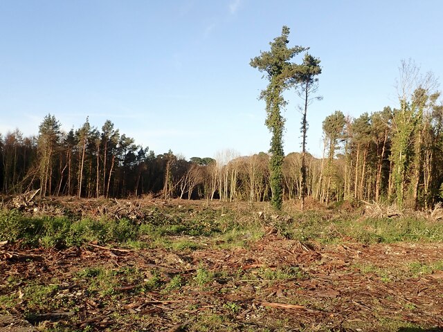
What is recorded here
Tipperary Woods is recorded as a forest in County Down.
Places near here
 Newcastle Presbyterian ChurchChurch · 931 yd
 Beach AvenueWalking route · 1005 yd
 Newcastle Tourist Information CentreVisitor information · 1051 yd
 Newcastle Heritage Trail - Old Railway StationVisitor information · 1061 yd
 Tower at former railway stationTower · 1064 yd
 WWII PillboxWWII Pillbox, Dhp no.3 · 1525 yd
 DrinnahillyMountain / peak · 1612 yd
 Tollymore Forest Park EntranceNature reserve · 1.1 mi
 Bath LaneWalking route · 1.1 mi
 Donard ForestForest · 1.2 mi
 CurraghardMountain / peak · 1.2 mi
 Black StairsWaterfall · 1.5 mi
Pictures: Eric Jones, Wikimedia Commons · CC BY-SA 2.0; Eric Jones, Geograph · CC BY-SA 2.0; N Chadwick, Geograph · CC BY-SA 2.0; HENRY CLARK, Geograph · CC BY-SA 2.0
More woods, forests and old trees in County Down · All of County Down
What do you know about this place?