What is recorded here
Internal diam. 60m. A large circular space enclosed by an earthen bank, 1m to 2m in height and best preserved in the E section, a fosse and a very worn outer bank. It is situated on the shoulder of a low E-W ridge and commands fine views of the surrounding, good land. Oliver Davies reported traces of a field system,…
Read the whole record
From the National Monuments Service (Archaeological Survey of Ireland) record DG107-109
Places near here
Photo credits
- Maker not stated on source page, cont.ws
- Maker not stated on source page, www.dreamstime.com
- National Inventory of Architectural Heritage
- Maker not stated on source page, fi.pinterest.com
- Maker not stated on source page, commons.wikimedia.org
- Maker not stated on source page, www.tripadvisor.ca
- Jonathan Wilkins, Geograph · CC BY-SA 2.0
- Maker not stated on source page, directmap.irish
- Highland Radio (publisher); individual photographer not stated, highlandradio.com
- Maker not stated on source page, www.airbnb.co.in
 Destroyed Finner Burial GroundGraveyard · 778 yd
Explorer Tom Destroyed Finner Burial Ground was an oval enclosure about 130 by 90 metres, with substantial banks and a church…
 Destroyed Finner Early Church EnclosureEcclesiastical enclosure · 778 yd
Explorer Tom Destroyed Finner Early Church Enclosure was described as an oval roughly 130 by 90 metres before its destruction. The…
 bridge856 yd
Explorer Tom Bridge in Dunmuckrum was built in 1866 to standard Irish gauge, not the narrow stuff used up north. I think it’s…
 Standing stone in RathmoreStanding stone · 1388 yd
Explorer Tom Standing stone in Rathmore is only 2ft high according to old notes! That’s barely taller than my dog. I bet it’s just a…
 Court tomb in FinnerCourt tomb · 1572 yd
Explorer Tom Court tomb in Finner is effectively gone, likely buried under sand or the military camp that swallowed the townland. We…
 Holy well in FinnerHoly well · 1572 yd
Explorer Tom Holy well in Finner is officially unlocated, though a 1936 record says it was near Fennor Church. That’s like being…
 Portnason HouseGate lodge · 1694 yd
Explorer Tom Portnason House gate lodge has a porch with a 'crow stepped' gable that looks like a bird trying to fly away. Built…
 Tullan StrandBeach / strand · 1.2 mi
Explorer Tom Tullan Strand gives Bundoran two kilometres of sand, rolling surf and the Dartry Mountains lined up across the bay like…
 Wardtown StrandBeach / strand · 1.3 mi
Explorer Tom Wardtown Strand is where Donegal's southern edge swaps the usual postcard beach for a broad, changing meeting of river…
 The Limit Bar And RestaurantRestaurant · 1.5 mi
Explorer Tom The Limit Bar And Restaurant is pushing its closing time to 20:45 on Fridays, which feels like a personal challenge to…
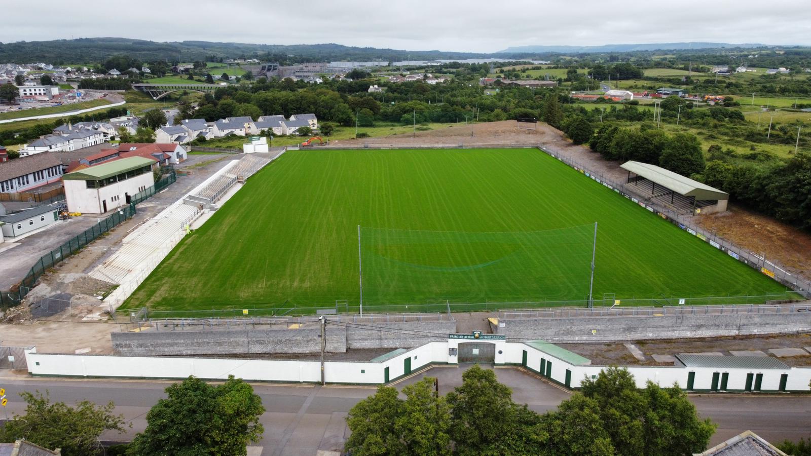 Father Tierney ParkGAA ground · 1.5 mi
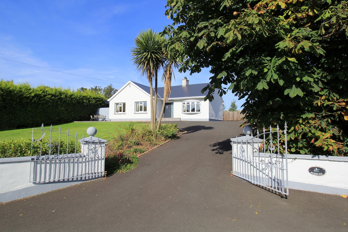 The BridgendPub · 1.6 mi
Explorer Tom The Bridgend sits on East Port, Ballyshannon, looking smug about its name while serving fish that’s seen things better…
More archaeology and monuments in County Donegal · All of County Donegal

What do you know about this place?Tap to add a comment or ask a question