What is recorded here
Fin McCools Finger Stone stood just south-southeast of a high drumlin ridge in County Cavan, an irregular composite boulder streaked with quartzite that caught the light like frozen rain. It was moved six metres east in 1968, then vanished entirely from that second position. A finger is a claim, a boundary, a warning, or a gift depending who is pointing. The ridge keeps the shape of the gesture even though the stone has withdrawn it.
An earlier report (OPW 1968) recorded that this standing stone had been moved from the location marked on the OS eds. to a point 6m to E. Original position was just SSE of the summit of a high drumlin ridge. It comprised an irregular, hard, composite boulder (H 1.15m; dims. 0.85m x 0.62m) noteworthy for the numerous streaks of quartzite in its composition. The stone has been removed from the second position in recent years and is now unlocated.
The above description is derived from the published 'Archaeological Inventory of County Cavan' (Dublin: Stationery Office, 1995). In certain instances the entries have been revised and updated in the light of recent research.
Date of upload/revision: 22 December 2008
Likely dating to the Bronze Age, the stone may have had ritual or territorial significance. Local folklore associates it with the giant Fin McCool, suggesting it was part of a legendary landscape linked to myth and hero figures in Irish tradition.
This remains an important historical record, but the official description says the monument is no longer visible or has been destroyed. The monument record does not grant public access. Check the route and ask the landowner before entering private land.
- What survives
- No visible remains or recorded as destroyed
Places near here
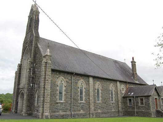 Church of the Immaculate Conceptionchurch/chapel · 1091 yd
 CloghmoreArchaeological place · 1135 yd
 Bruse HillMountain / peak · 1139 yd
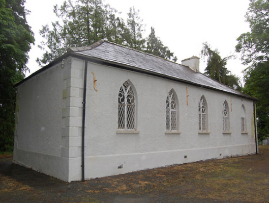 Drumcoghill Church Hallschool · 1571 yd
 Cornafean GFCMemorial · 1706 yd
 IndicatedFairy fort / earthen ringfort · 1.3 mi
 Bawn in CastlepolesBawn · 1.6 mi
 CorrMountain / peak · 1.7 mi
 Corraneary WoodWood · 1.9 mi
 Red IslandIslet · 2.1 mi
 White Lough ForestForest · 2.1 mi
 Lismore CastleCastle, unclassified · 2.8 mi