What is recorded here
Pre-development excavations in 36-39 Jame's Street revealed two intersecting ditches or field boundaries dating from the 13th century. One was a north-south linear cut with a U-shaped profile (L14m), the other an east-west ditch with a U-shaped profile (D 0.5m, L 20m). Pottery from both ditches dated from the 13th to 16th century (Cryerhall, A.2006, 139 in Excavations 2003).
From the National Monuments Service (Archaeological Survey of Ireland) record DU018-140
The monument record does not grant public access. Check the route and ask the landowner before entering private land.
- What survives
- Recorded monument
Places near here
Photo credits
- National Inventory of Architectural Heritage
- N Chadwick, Geograph · CC BY-SA 2.0
- Steven Lek, Wikimedia Commons · CC BY-SA 4.0
- Keith Weller, Wikimedia Commons · Public domain
- Paul Shanahan, Wikimedia Commons · CC BY-SA 4.0
- Filip Scridon, Wikimedia Commons · CC BY-SA 4.0
- C. G. P. Grey, Wikimedia Commons · CC BY 2.0
- renee_mcgurk, Wikimedia Commons · CC BY 2.0
- Graham Hogg, Geograph · CC BY-SA 2.0
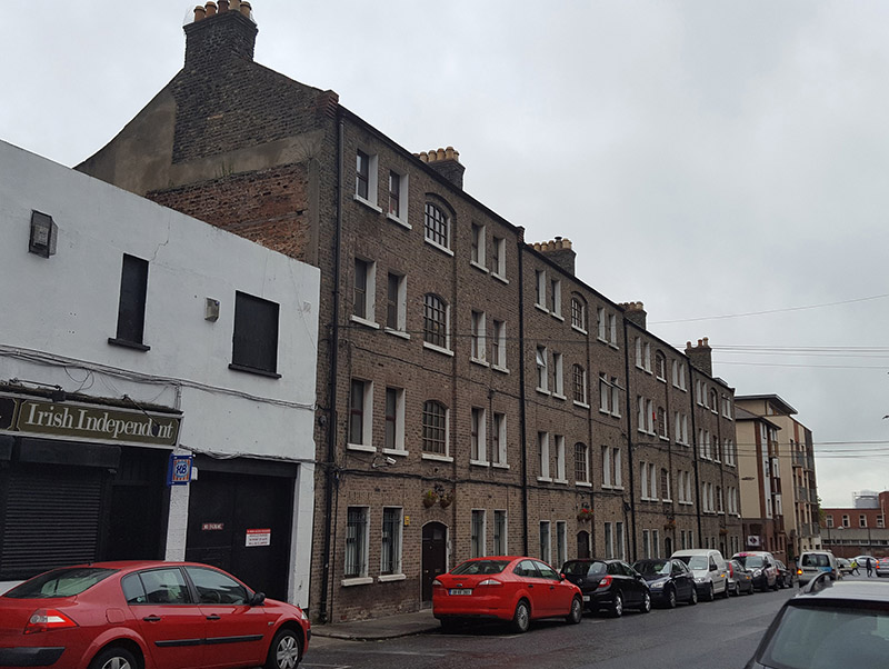 The Echlin BuildingsApartment/flat (purpose-built) · 58 yd
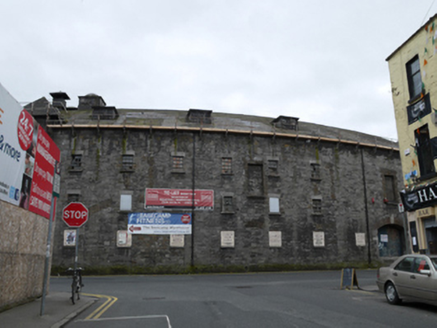 granary78 yd
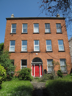 Fountain Resource CentrePresbytery/parochial/curate's house · 90 yd
 fountain94 yd
 Pearse LyonsHeritage attraction · 120 yd
 Guinness StorehouseHeritage attraction · 217 yd
 European Pear416 yd
_-_20190904133656.jpg/250px-County_Dublin_-_Croppies'_Acre_Memorial_Garden_(Dublin)_-_20190904133656.jpg "Photo: Paul Shanahan, Wikimedia Commons · CC BY-SA 4.0") Croppies Acre MemorialMemorial · 627 yd
Croppies Acre MemorialMemorial · 627 yd Royal BarracksBarracks · 734 yd
 Wellington MonumentMonument · 1259 yd
 Silver maple1290 yd
 Executions of the leaders of the 1916 risingMemorial · 1502 yd
More archaeology and monuments in County Dublin · All of County Dublin
What do you know about this place?