What is recorded here
One road leaves the rath on Tlachta and bends toward a pond where four rectangular fields still hold their shape under the grass. The route runs seven hundred metres east, linking the ancient earthwork to a cluster of settlements that likely belonged to the people who farmed the slope. They may have herded cattle past the water or carried grain home at dusk, their feet wearing the same path marked in the soil centuries later.
Located on the gentle E-facing slope of the broad Hill of Ward or Tlachta. A remote sensing survey (14R0059) in the field E of the Tlachta earthwork (ME030-001----) identified a number of linear features some of which are interpreted as a roadway (TLE2) connecting the visible rath with the settlement cluster (ME030-34----) which is c. 700m to its E. The routes centre on a pond (TLE4), around which are three or four rectangular enclosures or fields (dims 63m x 36m to 93m x 55m), some of which may have associated house platforms. (Davis 2017, 4, 5)
Compiled by: Michael Moore
Date of upload: 21 April, 2017
The monument record does not grant public access. Check the route and ask the landowner before entering private land.
- What survives
- Recorded monument
Places near here
 TlachtghaFairy fort / earthen ringfort · 516 yd
 Font in TlachtaFont · 544 yd
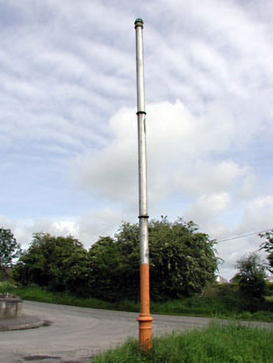 vent pipevent pipe · 1.2 mi
 AbbeyChurch · 1.3 mi
 CastleCastle, motte · 1.5 mi
 JamestownMountain / peak · 2.3 mi
 Fraine CastleCastle, tower house · 2.9 mi
 FraineMountain / peak · 3.0 mi
 FarmaphobiaHeritage attraction · 3.2 mi
 Causey FarmHeritage attraction · 3.2 mi
 Laurelberry WoodWood · 3.5 mi
 Girley WoodWood · 3.5 mi