What is recorded here
On a low E-W rise at the bottom of a S-facing slope. Three or four rectangular fields are visible on aerial photograph (OS: 4/2058) and vegetation marks of a rectangular field system covering c. 4 ha are visible on aerial photographs (GSIAP: M 658). The fields (dims c. 80m x c. 60m) have boundaries aligned on surviving field boundaries in the area. They are not visible at ground level in reclaimed pasture, but are not ancient.
Compiled by: Michael Moore
Date of upload: 24 August 2010
The monument record does not grant public access. Check the route and ask the landowner before entering private land.
- What survives
- Recorded monument
Places near here
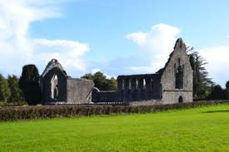 AbbeyChurch · 570 yd
 Enclosure in Cherryfield OR DrishaghanEnclosure · 610 yd
 War of Independence Commemorative Military MemorialMemorial · 770 yd
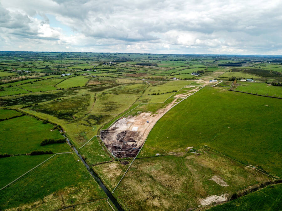 Enclosure in GortnacrannaghEnclosure · 1403 yd
 Saint Patrick's Catholic Churchchurch/chapel · 1.2 mi
 CastleCastle, unclassified · 3.9 mi
 Cruachan Aí Heritage CentreMuseum · 4.0 mi
 European ashEuropean ash · 4.4 mi
 ToberagullaSpring · 4.4 mi
 Castle (Site of)Castle, unclassified · 4.8 mi
 Coolnahinch WoodWood · 5.4 mi
 Bawn IslandIslet · 10 mi