What is recorded here
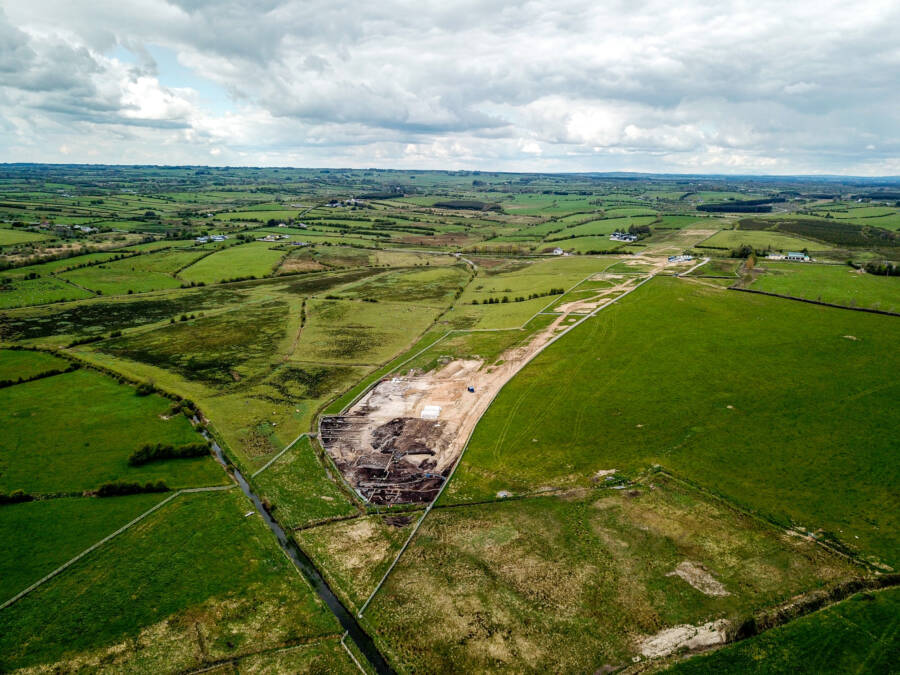
Enclosure in Gortnacrannagh is an enclosure in Gortnacrannagh, County Roscommon, Ireland. It appears as a small arc of hachures on the 1927 OS 6-inch map at the west edge of a narrow ravine. A subrectangular area of grass and thistles, about 17 metres long and 9 metres wide, backs onto the ravine and probably represents modern disturbance rather than an ancient boundary. A standing stone lies 15 metres to the southeast in the ravine floor, while a rath stands 190 metres to the west.
Marked as a small arc of hachures only on the 1927 ed. of the OS 6-inch map, and situated at the W edge of a small N-S ravine (Wth c. 30m; D c. 3m; L c. 50m). Subrectangular grass and thistle-covered area (dims 17m N-S; 9m E-W), which probably represents modern disturbance, backing onto the ravine. Standing stone (RO022-031003-) is c. 15m to the SE in the floor of the ravine. Rath (RO028----) is c. 190m to the W.
Compiled by: Michael Moore
Date of upload: 24 August 2010
The monument record does not grant public access. Check the route and ask the landowner before entering private land.
- What survives
- Recorded monument
Places near here
 Enclosure in RunnaruagEnclosure · 278 yd
 Lissabully FortFairy fort / earthen ringfort · 969 yd
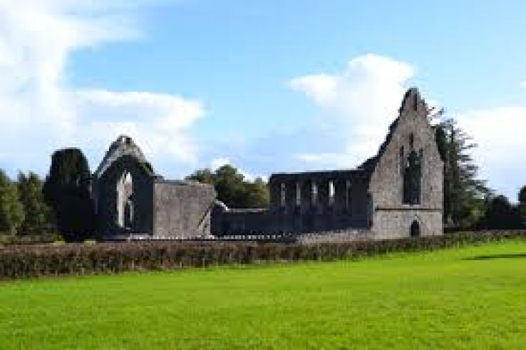 AbbeyChurch · 1.1 mi
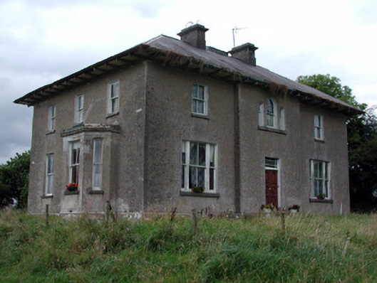 Rossmore Househouse · 1.2 mi
 War of Independence Commemorative Military MemorialMemorial · 1.2 mi
 CastleCastle, unclassified · 3.4 mi
 Cruachan Aí Heritage CentreMuseum · 3.4 mi
 European ashEuropean ash · 3.8 mi
 ToberagullaSpring · 3.8 mi
 CastlerubyCastle, unclassified · 5.0 mi
 Sweet ChestnutSweet Chestnut · 6.6 mi
 Bawn IslandIslet · 10 mi
Other information
Photo: Credit not shown in the picture search · Rights wording not checked; contact us if this picture should be removed