
What is recorded here
From the National Monuments Service (Archaeological Survey of Ireland) record RO022-034001
Places near here
Photo credits
- Maker not stated on source page, irelandsholywells.blogspot.com
- PatWhelehan, Wikimedia Commons · CC BY-SA 4.0
- undefined, Wikimedia Commons · CC BY-SA 4.0
- National Inventory of Architectural Heritage
- Maker not stated on source page, irishheritagenews.ie
- Dan Clohessy / INPHO, www.roscommonherald.ie
- Sawyer777, Wikimedia Commons · CC BY-SA 4.0
- Tulsk GAA club website; individual photographer not stated, www.tulskgaa.ie
- Gillaween, Wikimedia Commons · CC BY-SA 4.0
- Willow, Wikimedia Commons · CC BY 2.5
- Algirdas at Lithuanian Wikipedia, Wikimedia Commons · Public domain
 Holy well in ShankillHoly well · 641 yd
Explorer Tom Holy well in Shankill is called Toberfraghte, which means Frenchman's Well, because apparently a guy from France got…
 War of Independence Commemorative Military MemorialMemorial · 770 yd
Explorer Tom War of Independence Commemorative Military Memorial is secretly proud of the potato that grew in its shadow during the…
 Saint Patrick's Catholic ChurchChurch/chapel · 1.2 mi
Explorer Tom Saint Patrick's Catholic Church in Edenan has a tower so spectacular it makes you wonder if they ran out of money for…
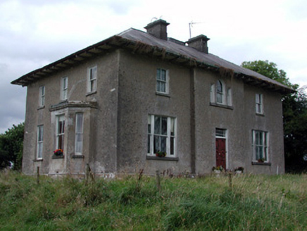 Rossmore HouseHouse · 1.3 mi
Explorer Tom Rossmore House in Ross More East has been arguing about whether it’s Georgian or Victorian, which is honestly the most…
 Fairy fort / earthen ringfort in CartronagorFairy fort / earthen ringfort · 1.4 mi
Explorer Tom Fairy fort / earthen ringfort in Cartronagor has no door, so how do the fairies even get in? Maybe they just phase…
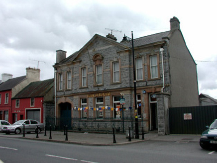 Bank of IrelandBank/financial institution · 1.4 mi
Explorer Tom Bank of Ireland in Elphin hears every secret whispered through its thick stone walls but keeps them safe because it’s…
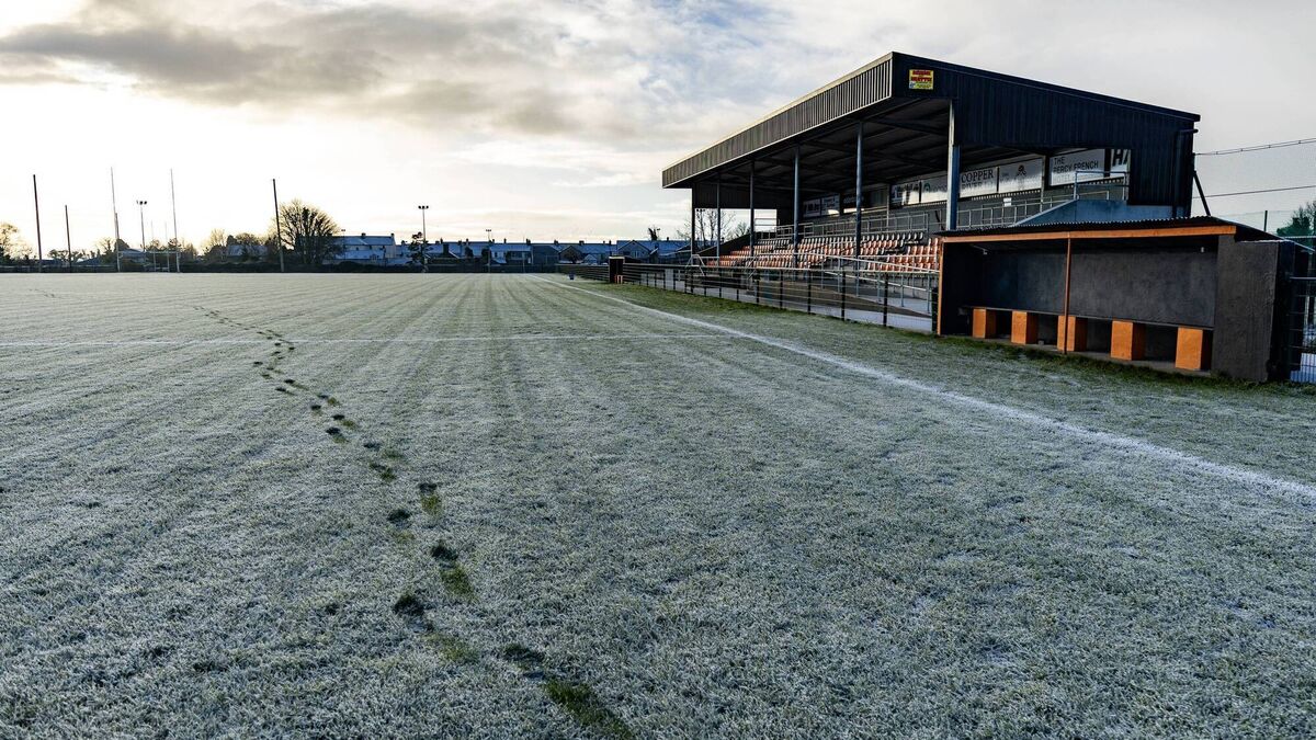 Orchard Park, Elphin GAAGAA ground · 1.6 mi
 Queen Medb: RathcroghanLegend location · 3.9 mi
Explorer Tom Queen Medb: Rathcroghan is where the Táin starts turning a quarrel about a bull into an epic. Medb had a royal seat…
 Tulsk Lord Edwards GAAGAA ground · 4.1 mi
 The Mórrígan: OweynagatLegend location · 4.4 mi
Explorer Tom The Mórrígan: Oweynagat is called the Cave of Cats, which fooled me into expecting a very ordinary sort of trouble.…
 European ash4.4 mi
Explorer Tom European ash in County Roscommon has been the subject of some wild prophecies that never actually came true, which is…
 Pedunculate Oak6.2 mi
Explorer Tom Pedunculate Oak in County Roscommon is being claimed by a local who swears he invented it back in his youth, which is a…
More archaeology and monuments in County Roscommon · All of County Roscommon

What do you know about this place?Tap to add a comment or ask a question