What is recorded here
In a large pasture field, on slightly elevated level ground with a gently undulating fall of ground to NE towards a drain/stream.
A field system of irregular or subrectangular fields, incorporating a sub-circular enclosure (MA111-045002-), is visible as cropmarks in aerial photographs (SMR file: CUCAP AYR 74 & 75). It appears to have extended over an area of c. 25m N−S by c. 200m E−W. It was levelled during land reclamation; there is no visible trace at ground level. According to local tradition, there was pre-famine cluster of cottages/settlement here, which was devastated during the Famine years and disappeared thereafter.
Compiled by: Jane O'Shaughnessy
Date of upload: 21 December 2022
This remains an important historical record, but the official description says the monument is no longer visible or has been destroyed. The monument record does not grant public access. Check the route and ask the landowner before entering private land.
- What survives
- No visible remains or recorded as destroyed
Places near here
 Enclosure in RobeenardEnclosure · 41 yd
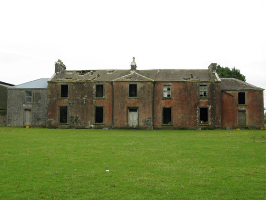 Kilrush Houseschool · 664 yd
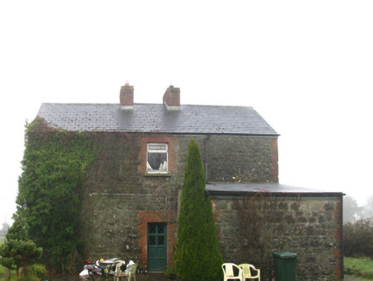 Hollymount Railway Stationstation master's house · 781 yd
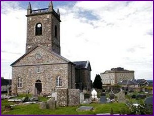 IndicatedFairy fort / earthen ringfort · 1721 yd
 Castle (ruin)Castle, unclassified · 1.9 mi
 Bunacrower CastleCastle · 2.1 mi
 SycamoreSycamore · 2.4 mi
 Geoffrey's WoodForest · 5.0 mi
 Bush IslandIslet · 5.4 mi
 Pleasure IslandIslet · 5.7 mi
 Land of the GiantsHeritage attraction · 6.2 mi
 Moore Hall Forest TrailWalking route · 6.6 mi