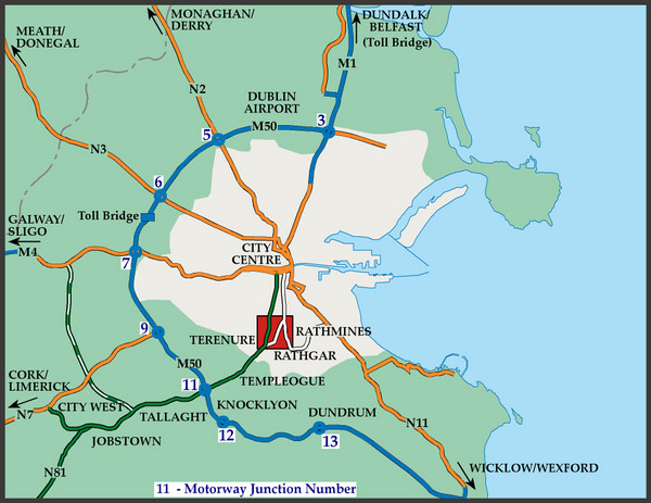
What is recorded here
A possible field system visible as a crop mark on Digital Globe orthoimage taken between 2011-13 together with a square enclosure (DU004-066----) and a circular enclosure (DU004-067----) in the same field (SMR file; pers. comm. T. Condit). Located on the east facing slope of a low north south ridge within gently undulating landscape. No visible remains.
See attached Digital Globe orthoimage taken between 2011-13
Compiled by: David O’Connor
Updated by: Christine Baker
Date of upload: 24 October 2014
The monument record does not grant public access. Check the route and ask the landowner before entering private land.
- What survives
- Recorded monument
Places near here
 Enclosure in RingEnclosure · 86 yd
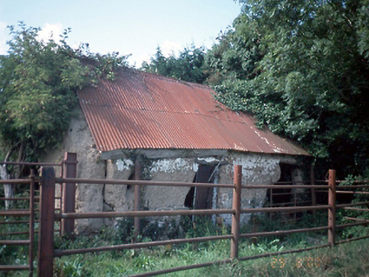 farmyard complexfarmyard complex · 704 yd
 Fulacht fia in KnockFulacht fia · 888 yd
 Wavin LakesNature reserve · 1195 yd
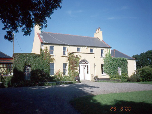 Inch Househouse · 1726 yd
 Balrothery TowerCastle · 1.1 mi
 Balrothery Heritage CentreMuseum · 1.1 mi
 Castle (remains of)Castle, tower house · 1.2 mi
 Flat cemetery in DarcystownFlat cemetery · 1.3 mi
 Clonard SpringSpring · 1.4 mi
 KnockbrackMountain / peak · 1.9 mi
 Barn WoodWood · 2.0 mi
Other information
Photo: Credit not shown in the picture search · Rights wording not checked; contact us if this picture should be removed