What is recorded here
Situated on a fairly level landscape. The cropmarks of some wide field drains (Wth c. 3m) delineate some large fields (dims c. 90m x c. 60m) while lighter drains create smaller more regular fields (dims c. 25m x c. 20m) relating to them on Apple Maps. The fields are from an unmapped field system covering an area of c. 2.5ha (c. 7 acres), but no house sites are identified. It was first reported by Jean Charles Caillére.
See the attached enhanced view from Apple Maps
Compiled by: Michael Moore
Date of upload: 21 February 2022
The monument record does not grant public access. Check the route and ask the landowner before entering private land.
- What survives
- Recorded monument
Places near here
 Enclosure in TrevetEnclosure · 1.5 mi
 Lemur WoodWood · 1.7 mi
 Church in Kilbrew (ratoath By.)Church · 1.7 mi
 IndicatedEnclosure, large enclosure · 1.7 mi
 Emerald ParkHeritage attraction · 1.8 mi
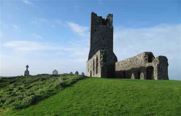 Church (in Ruins)Church · 2.2 mi
 Macetown CastleCastle, tower house · 2.2 mi
 Candle HillMountain / peak · 3.4 mi
 Newtown HillMountain / peak · 3.5 mi
 CastleCastle, motte · 3.5 mi
 The Pond WoodWood · 3.7 mi
 PuddenhillHeritage attraction · 4.3 mi