What is recorded here
Situated on a slight S-facing slope. A system of fields (dims c. 60-150m N-S; c. 40-50m E-W) defined by single ditches was encountered during archaeological monitoring (15E0125) by S. McGlade in Phase 1 of the archaeological mitigation connected with a housing development (excavations.ie 2018: 032). The drains extended S from the medieval roadway (ME038-051----) that is the precursor of the present Dunshaughlin - Drumree road. The drains (Wth 1.2-1.25m; D 0.0.36-75m to Wth 1.6m; D 0.65m) can be U or V-shaped and are filled with silty clays, often with a stone content added to facilitate drainage. Sometimes the ditches have been re-cut. The ditches were sampled at various points and the few artefacts recovered suggest that they date from the high medieval period. Collectively they form a pattern of rectangular fields laid out perpendicular to the road. Close to the road the fields are large (dims c. 150m N-S; c. 40-50m E-W) but further S the length could decrease (c. 60-70m). The mapped post-medieval field system is laid out along similar lines but these fields are thought to date to the twelfth to fourteenth century. (McGlade 2020, vol. 1, 51-61)
Compiled by: Michael Moore
Date of upload: 9 December 2021
The monument record does not grant public access. Check the route and ask the landowner before entering private land.
- What survives
- Recorded monument
Places near here
 Enclosure in Roestown (ratoath By.)Enclosure · 162 yd
 EnclosureEnclosure, large enclosure · 181 yd
 Dunshaughlin Civic Officesoffice · 691 yd
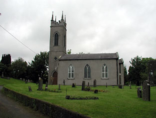 Saint Seachnall's Church (Dunshaughlin)church/chapel · 1041 yd
 Killeen CastleCastle, tower house · 2.1 mi
 Laurel WoodsWood · 3.0 mi
 Dunsany CastleCastle, unclassified · 3.1 mi
 Dunsany WoodWood · 3.2 mi
 Lismahon 1798 MemorialMonument · 3.7 mi
 Emerald ParkHeritage attraction · 4.4 mi
 Battle of Tara Hillbattle · 4.9 mi
 Battle of Tara (Ireland)Major battlefield · 4.9 mi