What is recorded here
On a N-facing slope of pasture with good extensive views in all directions. Nearby ringfort (TS043-013----) and enclosure (TS043-014----) are located 300m and 500m to the SE respectively. The earthworks were identified from an aerial photograph (CUCAP BGN 99) taken in 1977. The field has been recently ploughed and re-seeded with grass. A slight hollow depression and suggestions of a curving bank or scarp running from the road in a westerly direction and returning northwards running onto a hedge may be the remains of the levelled earthworks. The cropmark of two large rectangular enclosures in the W quadrant of the field and two adjoining smaller enclosures may be examples of smaller fields associated with an earlier settlement. A cluster of dwellings is depicted on the Down Survey map (1655-6) in the area marked on the OS 6-inch map.
Compiled by: Jean Farrelly
Date of upload: 26 August 2011
The monument record does not grant public access. Check the route and ask the landowner before entering private land.
- What survives
- Recorded monument
Places near here
 RathbegFairy fort / earthen ringfort · 333 yd
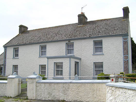 farm housefarm house · 1373 yd
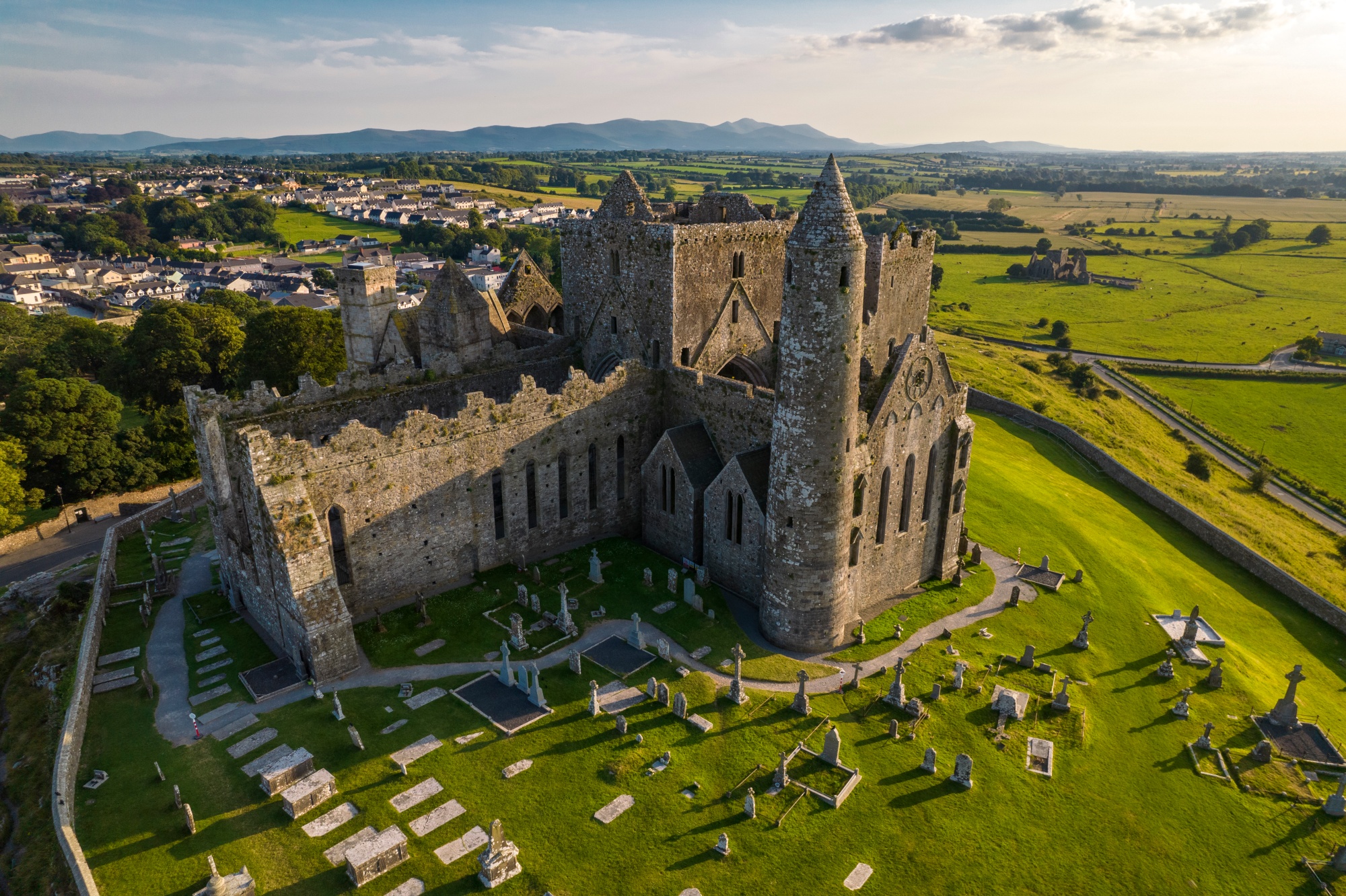 RathkianFairy fort / earthen ringfort · 1581 yd
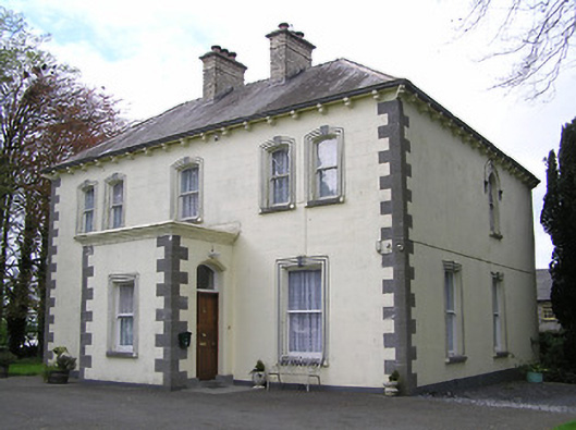 presbytery/parochial/curate's housepresbytery/parochial/curate's house · 1751 yd
 Fennor Castle (in Ruins)Castle, unclassified · 1.2 mi
 Bawn in GraiguepadeenBawn · 1.3 mi
 Kilcooly AbbeyHeritage attraction · 2.1 mi
 KilcooleyForest · 2.3 mi
 Serpentine WoodForest · 2.7 mi
 Bregaun HillMountain / peak · 3.8 mi
 John HelyMemorial · 4.4 mi
 DelaneyMemorial · 4.5 mi