
What is recorded here
Aerial photograph (GB89.AG.26) shows cropmark of a sequence of fosses defining a rectilinear field system comprising ten contiguous rectangular fields extending from a series of circular and rectilinear enclosures, and forming an extensive and complex cropmark landscape. The parallel fosses running NE to SW across the…
Read the whole record
From the National Monuments Service (Archaeological Survey of Ireland) record CW003-024001
Places near here
Photo credits
- Jean-Pol GRANDMONT, Wikimedia Commons · CC BY 3.0
- Irlandahijo, Wikimedia Commons · CC BY-SA 3.0
- Sitomon, Wikimedia Commons · CC BY-SA 2.0
- Maker not stated on source page, www.flickr.com
- National Inventory of Architectural Heritage
- Maker not stated on source page, knightstemplar.co
- Maker not stated on source page, hu.pinterest.com
- Maker not stated on source page, en.wikipedia.org
- Maker not stated on source page, www.tripadvisor.com.au
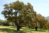 Cork oak644 yd
Explorer Tom Cork oak tree is basically a giant sponge wearing a suit and tie. If it were a person at a wedding, it would be the…
 Duckett's GroveCountry house · 913 yd
Explorer Tom Duckett's Grove in Rainestown is now just ruins, which is very on-brand for it. It had a viewing tower that probably…
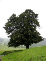 European Yew1186 yd
Explorer Tom European Yew in County Carlow is doing its best impression of a medieval murder weapon while looking ancient. It's…
 Ballinakelly WoodForest · 1186 yd
Explorer Tom Ballinakelly Wood is refusing to fall down because it thinks gravity is just a suggestion for trees. It stands there…
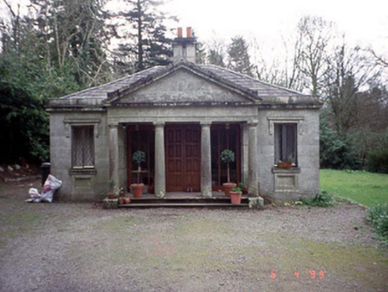 Russellstown ParkGate lodge · 1207 yd
Explorer Tom Russellstown Park gate lodge has four Tuscan columns that look like they're waiting for a chariot to arrive in 1836.…
 Burton HallCountry house · 1498 yd
Explorer Tom This bit of Burton Hall is basically one wing of a house that got divorced from its siblings. The staircase survived…
 CastleCastle, unclassified · 1.0 mi
Explorer Tom Castle in Burtonhall Demesne was once 'in good repair,' which is doing a lot of heavy lifting there. Now nobody can…
 Mapped cemeteryCemetery · 1.2 mi
Explorer Tom This Mapped Cemetery holds a fake world record for the most crooked gravestones in a single row. We measured it with a…
 worker's house1.5 mi
Explorer Tom Worker's house in Killyshane is semi-detached with dormer attics and granite facades, arranged in four pairs like…
 Site of Church & Grave YardGraveyard · 1.7 mi
Explorer Tom Site of Church & graveyard in Ardnehue has vanished so completely that even the map forgot it existed. It’s like a…
 Church (Site of)Church · 1.7 mi
Explorer Tom Church in Ardnehue has no visible trace, so it’s basically a ghost with commitment issues. I bet it hears the wind…
 Graveyard in UrglinGraveyard · 1.9 mi
Explorer Tom Graveyard in Urglin is constantly getting confused with places that actually have something going on nearby. It just…
More archaeology and monuments in County Carlow · All of County Carlow

What do you know about this place?Tap to add a comment or ask a question