What is recorded here
Situated on level ground in gently undulating terrain. A possible field system, visible as cropmarks on aerial photograph (CUCAP, AYJ 67), consisting of part of a large field (est. max. dims. 80m x 70m), with another boundary abutting the NE corner (L c. 80m). Not visible at ground level. The cropmark of a bi-vallate enclosure (WI025-009001-) bisteced by a N-S field boundary is also visible on the aerial photograph. The field system runs off this bi-vallate enclosure (WI025-009001-) with a second enclosure (WI025-008----) 100m to the N.
The above description is derived from the published 'Archaeological Inventory of County Wicklow' (Dublin: Stationery Office, 1997). In certain instances the entries have been revised and updated in the light of recent research.
Date of upload/revision: 17 December 2008
The monument record does not grant public access. Check the route and ask the landowner before entering private land.
- What survives
- Recorded monument
Places near here
 Enclosure in NewrathEnclosure · 63 yd
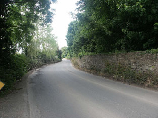 Clermont Housegates/railings/walls · 501 yd
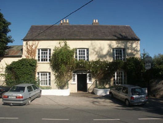 Hunter's Hotelhotel · 603 yd
 Enclosure in TinakellyEnclosure · 815 yd
 Sessile OakSessile Oak · 937 yd
 Sweet ChestnutSweet Chestnut · 1128 yd
 CastleCastle, unclassified · 1.0 mi
 Round MountCastle, motte · 1.9 mi
 Glen Beach Cliff WalkWalking route · 3.5 mi
 Carrick MountainMountain / peak · 3.8 mi
 Devil's Glen WaterfallWaterfall · 4.1 mi
 Silver StrandBeach / strand · 4.4 mi