What is recorded here
On the NE outskirts of Kilkenny City, a river flowing southward into the Nore runs roughly parallel to the E, in tillage. An aerial photograph (GB89.Q.26, 13 July 1989) shows a series of fosses delineating a rectilinear field system running NNE-SSW (visible L c. 280m; Wth between field boundaries c. 50m) with an integral trackway. Two plough-levelled probable barrows (KK019-121---- and KK019-122----) are located within the field system, but are not necessarily contemporaneous. The outer ring road, which was completed in 2007, cuts NNW-SSE through the field system. One of the field boundaries is visible as a cropmark on Google Earth Pro satellite imagery (imagery date 13 August 2015).
See attached Google Earth image (imagery date 13 August 2015)
Compiled by: Jean Farrelly
Date of upload: 20 October 2020
The monument record does not grant public access. Check the route and ask the landowner before entering private land.
- What survives
- Recorded monument
Places near here
 Church (in ruins)Church · 521 yd
 Enclosure in GarrincreenEnclosure · 740 yd
 Enclosure in NeworchardEnclosure · 863 yd
 Hebron Housefarm house · 1197 yd
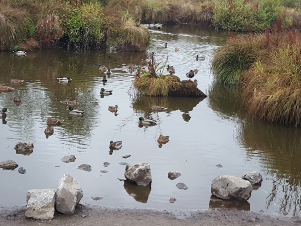 Newpark Marsh ParkNature reserve · 1337 yd
 Jurassic NewparkHeritage attraction · 1393 yd
 J. TobinMemorial · 1609 yd
 Kilkenny AFC & Kilkenny & District Soccer LeagueMemorial · 1652 yd
 Stephens Barracks MuseumMuseum · 1703 yd
 KilkennyVisitor information · 1.1 mi
 CastleCastle, tower house · 1.2 mi
 Kilkenny County Council Car ParkVisitor information · 1.2 mi