What is recorded here
Situated on a steep SE-facing slope. The cropmark of enclosure (ME033071----) is on the W side of and part of the perimeter of a large D-shaped or triangular enclosure (max. dims c. 110m NW-SE; c. 85m NE-SW) defined by single fosses or drains. Extending SW from this large enclosure is a series of at least four rectangular fields (dims c. 40m x c. 35m) defined by the cropmarks of drains that have not been recorded on any map. The entire area covers about 15 acres (c. 4.5 ha), and is visible on images recorded from a drone-mounted camera by Ian Lennon on 24/07/2021. The features are also faintly visible on Bluesky images (2018) and Google Earth (24/06/2018).
Compiled by: Michael Moore
Date of upload: 28 July 2021
The monument record does not grant public access. Check the route and ask the landowner before entering private land.
- What survives
- Recorded monument
Places near here
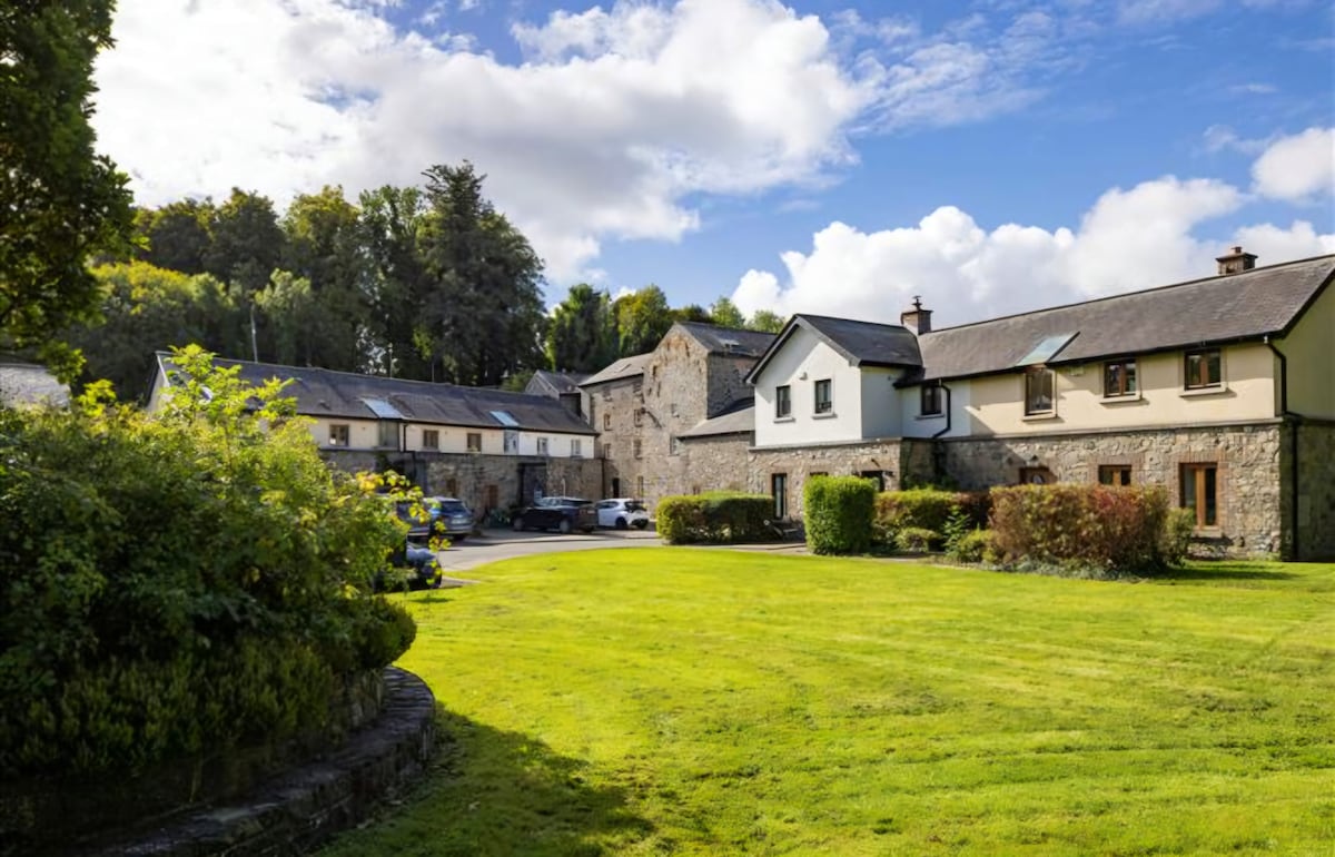 Enclosure in NaulEnclosure · 74 yd
 Naul Bridgebridge · 1044 yd
 Naul Park HouseCastle, unclassified · 1076 yd
 Bawn in NaulBawn · 1082 yd
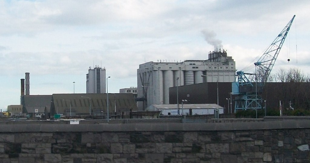 Flour Mill, Mill DamWater mill, unclassified · 1096 yd
 Lady WellHoly well · 1144 yd
 Tullog WoodForest · 1296 yd
 Seamus Ennis Cultural CentreMemorial · 1307 yd
 Bun-na-CnoicMemorial · 1.0 mi
 Naul HillMountain / peak · 1.4 mi
 Ballshill PlantingForest · 1.7 mi
 FourknocksPassage tomb · 1.9 mi