What is recorded here
Situated on a level landscape. In 1984 an area of about 2 ha (c. 5 acres) was occupied by relict field banks (Wth of base 3.5-4.5m; int. H 0.3m; ext. H c. 0.5m) and silted ditches (Wth c. 1.5-2m; D c. 0.2-0.4m). These features create at least four small square fields (dims c. 30m x c. 20m) and some larger ones. Ridge and furrow cultivation is noted in only one of the larger fields, and only one possible house site, visible as a grass-covered platform (dims 7.5m x c. 4m; H 0.3m), is identified. The area seems to have been reclaimed by 2000 (OSAP).
The above description is derived from the published 'Archaeological Inventory of County Meath' (Dublin: Stationery Office, 1987). In certain instances the entries have been revised and updated in the light of recent research.
Compiled by: Michael Moore
Date of revision: 17 April 2019
The monument record does not grant public access. Check the route and ask the landowner before entering private land.
- What survives
- Recorded monument
Places near here
 Moymet CastleCastle, tower house · 266 yd
 IndicatedGatehouse · 269 yd
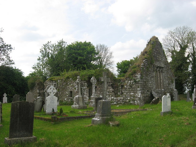 Church (in Ruins)Church · 369 yd
 EnclosureEnclosure, large enclosure · 710 yd
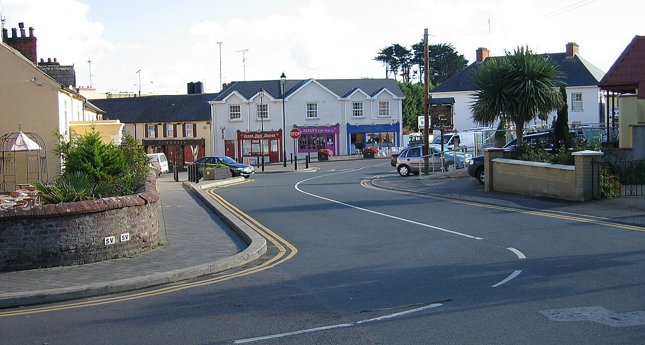 Courtown FriaryReligious house, Franciscan friars · 1.7 mi
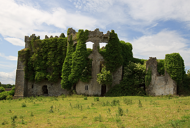 CastleCastle, tower house · 2.1 mi
 Wych ElmWych Elm · 4.2 mi
 JamestownMountain / peak · 4.3 mi
 Small-leaved ElmSmall-leaved Elm · 4.4 mi
 BohermeenMountain / peak · 4.7 mi
 The New Line RoadMemorial · 4.8 mi
 Battle of Tara (Ireland)Major battlefield · 8.6 mi