
What is recorded here
Situated on a fairly level landscape. The cropmark of a curved subrectangular area (dims c. 90m N-S; c. 75m E-W) defined by a single fosse feature (Wth c. 2-3m) is visible only on Google Earth (14/07/2019). There is an entrance gap (Wth c. 5m) at ESE and the perimeter is not apparent SE-SW. It was first reported by Jean Charles Caillere.
Compiled by: Michael Moore
Date of upload: 17 September 2019
The monument record does not grant public access. Check the route and ask the landowner before entering private land.
- What survives
- Recorded monument
Places near here
 Moymet CastleCastle, tower house · 763 yd
 IndicatedGatehouse · 849 yd
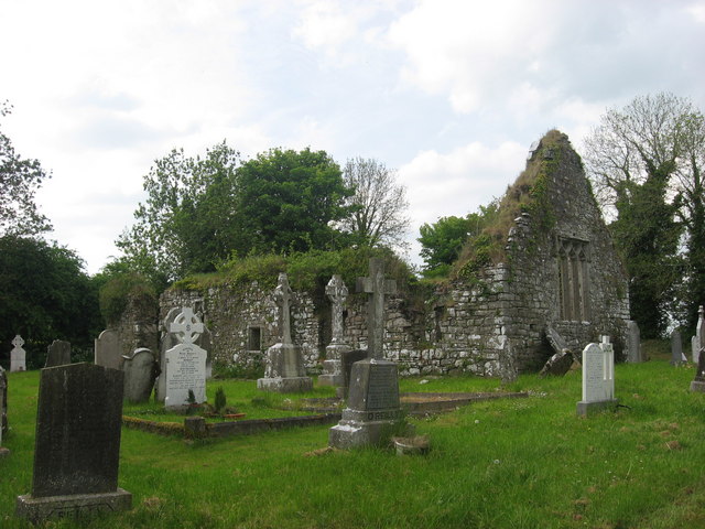 Church (in Ruins)Church · 872 yd
 Enclosure in Dunleever GlebeEnclosure · 1670 yd
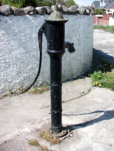 water pumpwater pump · 1.6 mi
 Trim CastleCastle, Anglo-Norman masonry castle · 2.2 mi
 Wych ElmWych Elm · 4.2 mi
 Small-leaved ElmSmall-leaved Elm · 4.4 mi
 JamestownMountain / peak · 4.7 mi
 FraineMountain / peak · 5.0 mi
 The New Line RoadMemorial · 5.2 mi
 Battle of Tara (Ireland)Major battlefield · 8.6 mi
Other information
Photo: Credit not shown in the picture search · Rights wording not checked; contact us if this picture should be removed