What is recorded here
A 1970 aerial photograph (CUCAP BDU 44) shows earthworks covering a rectangular area (est. dims. L c. 150m N-S; Wth c. 100m E-W). At the E-foot of a low rise, under crop, and not visible, when inspected in 1985 (SMR file). In 2000, in advance of a commercial development, six test-trenches were excavated in the area (Excavation Licence no. 00E0330). No finds or features were revealed suggesting that the earthworks had been removed through ploughing and the levelling of the field over the years. Further monitoring and test-trenching in the area (Excavation Licence no. 00E0888) produced no finds, features or structures of any archaeological significance. (www.excavations.ie)
Compiled by: Gearóid Conroy
Date of upload: 10 June 2011
The monument record does not grant public access. Check the route and ask the landowner before entering private land.
- What survives
- Recorded monument
Places near here
 Joseph McCormackMemorial · 540 yd
 Andrew FayMemorial · 781 yd
 IndicatedEnclosure · 1039 yd
 Griffin RathFairy fort / earthen ringfort · 1320 yd
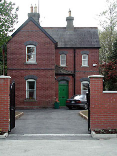 Maynooth Railway Stationstation master's house · 1588 yd
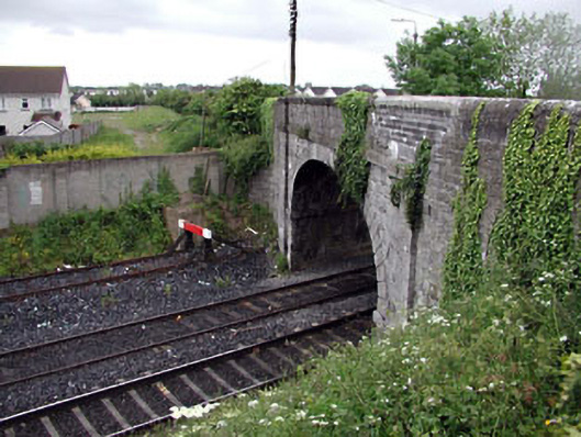 bridgebridge · 1612 yd
 Conolly's FollyHeritage attraction · 1.0 mi
 The OrchardWood · 1.1 mi
 National Science MuseumMuseum · 1.1 mi
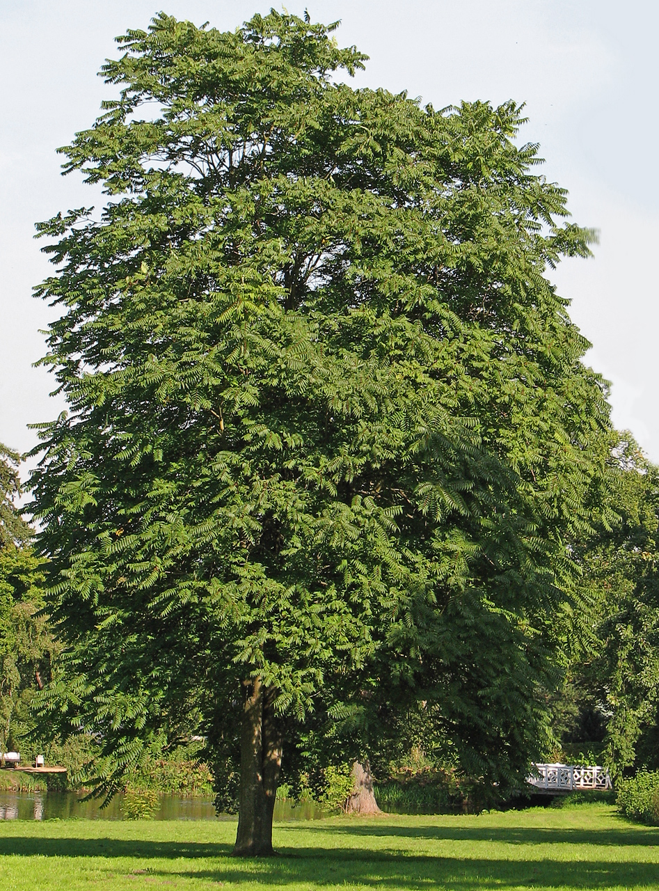 Tree of HeavenTree of Heaven · 1.1 mi
 CastleCastle, unclassified · 1.7 mi
 Bond Bridgebridge · 1633 yd