What is recorded here
In level arable land, recently sown. Slight visible surface trace of two linear depressions, (L c. 90m) extending (long-axis c. E-W) with slight curvature, c. 55m to N and c. 75m to S of church (TS068-103----). Visible on aerial photographs (GSI S. 632 and S.660/59, 16.4.1974) as sub-rectangular area (dims. 140m N-S; c. 150m E-W) defined as a slightly curvilinear cropmark to N (Chord c. 85m), E (Chord c. 95m) and S (Chord c. 90m) and existing field boundary (long-axis N-S) to W. Another curvilinear cropmark is noted c. 18m to S of northern cropmark and is congruent to it. Church (TS068-103----) is off-centre to N within, enclosure (TS068-103001-) is within to W and enclosure (TS068-103002-) adjoins exterior to S.
See attached photograph:
TS068-103003-_01 Satellite image (2021 Maxar Technologies, viewed May 2021)
Compiled by: Jean Farrelly
Date of upload: 26 August 2011
The monument record does not grant public access. Check the route and ask the landowner before entering private land.
- What survives
- Recorded monument
Places near here
 Ecclesiastical enclosure in MasterstownEcclesiastical enclosure · 64 yd
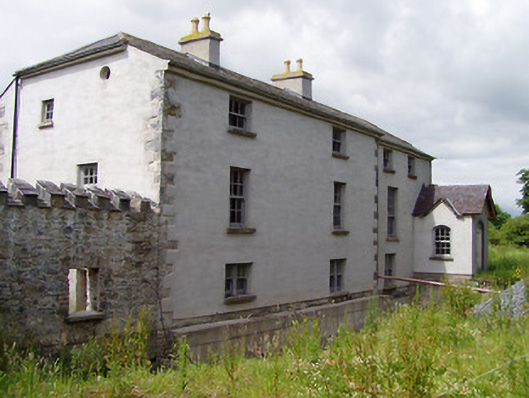 Mill Housemill (water) · 897 yd
 Hymenstown Househouse · 948 yd
 LisheenEnclosure · 1107 yd
 Bawn in GarranleaBawn · 1455 yd
 Boytonrath Castle (in ruins)Castle, unclassified · 1.5 mi
 Caucasian zelkovaCaucasian zelkova · 3.2 mi
 Athassel PrioryHeritage attraction · 3.3 mi
 Cappa WoodWood · 3.9 mi
 Caher AbbeyHeritage attraction · 4.3 mi
 Slieveanard NE TopMountain / peak · 4.3 mi
 Siege of Cahir Castlesiege · 4.5 mi