What is recorded here
In pasture, on a S-facing slope. An earthen bank (H 0.4m) extends 26m to SW from the SW edge of Magheranore enclosure (SL038-080001-) and a scarp (H 0.5m) extends 18m to W from the NW edge. These are possibly the remains of old field boundaries.
Compiled by: Archaeological Survey Unit, UCC with revisions by Patrick F. O'Donovan and Paul Walsh
Date of upload: 20 June 2011
The monument record does not grant public access. Check the route and ask the landowner before entering private land.
- What survives
- Recorded monument
Places near here
 Enclosure in MagheranoreEnclosure · 21 yd
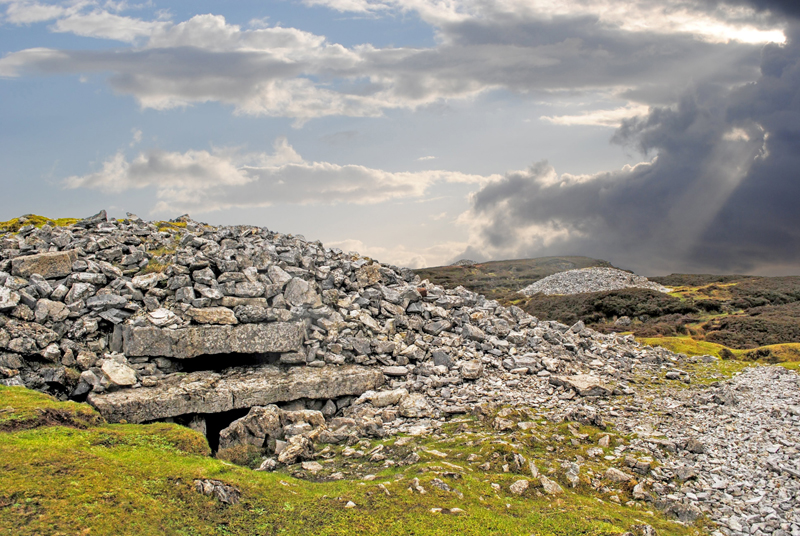 Indicated (1838).Fairy fort / earthen ringfort · 1243 yd
 CastleCastle, unclassified · 1373 yd
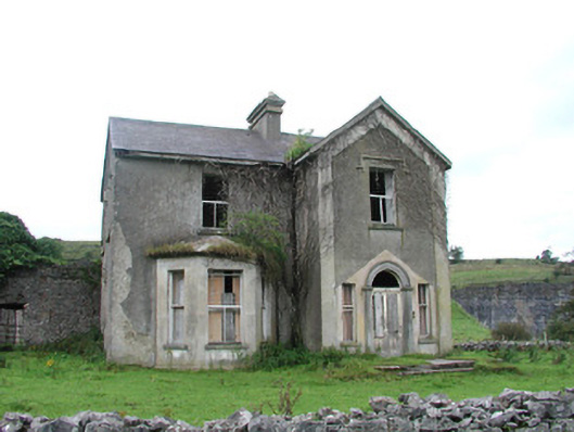 Chaffpool Househouse · 1600 yd
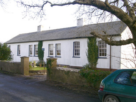 The Old School Houseschool · 1.2 mi
 Muckelty HillMountain / peak · 2.8 mi
 Tymon's HillMountain / peak · 2.9 mi
 Ballyara Castle (in Ruins)Castle, unclassified · 3.5 mi
 Old Cave Burial GroundArchaeological place · 3.7 mi
 ElderElder · 6.1 mi
 Caves of KeshCave · 9.2 mi
 School CaveCave · 10 mi