What is recorded here
In tillage field, on slight rise of ground with good views in all directions. Possible field system appears as a cropmark on aerial photograph taken in 1996 (ASIAP 381 28-32) with a possible enclosure (TS054-090----) attached. Field system not visible at ground level.
Compiled by: Jean Farrelly
Date of upload: 26 August 2011
The monument record does not grant public access. Check the route and ask the landowner before entering private land.
- What survives
- Recorded monument
Places near here
 Church (in ruins)Church · 1209 yd
 DerrynaflanEcclesiastical enclosure · 1295 yd
 Gobban Saer's GraveArchaeological place · 1298 yd
 Grallagh CastleCastle · 1.3 mi
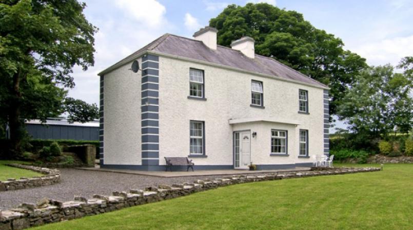 Enclosure in Grallagh (graystown Par.)Enclosure · 1.4 mi
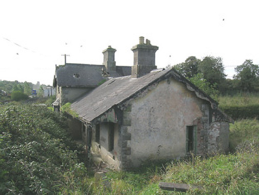 Laffansbridge Railway Stationrailway station · 1.4 mi
 Horse and JockeyVisitor information · 1.8 mi
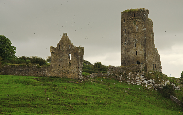 Bawn in GraystownBawn · 1.9 mi
 Noan WoodWood · 2.1 mi
 Derrynaflan TrailHeritage attraction · 2.4 mi
 Gift Horse GalleryGallery · 2.4 mi
 Taylor's WoodWood · 2.7 mi