What is recorded here
In bogland on S-facing slope overlooking Shanakeever Lough. Exposed in recent turf cuttings are three short stretches of pre-bog wall (max. Ls 25m). Two of these, running E-W, appear to be parallel and c. 32m apart, while the third, c. 100m to W of the above, is traceable for 10-12m running N-S. A possible pre-bog trackway (GA035-057----) lies to SW.
The above description is derived from the published 'Archaeological Inventory of County Galway Vol. I - West Galway'. Compiled by Paul Gosling (Dublin: Stationery Office, 1993).
Date of upload: 05 August 2010
The monument record does not grant public access. Check the route and ask the landowner before entering private land.
- What survives
- Recorded monument
Places near here
 Enclosure in TooraskeheenEnclosure · 1.0 mi
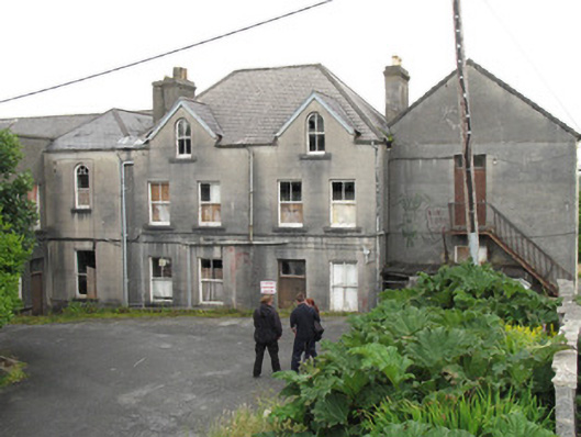 Saint Joseph's Conventschool · 1.3 mi
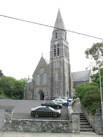 Saint Joseph's Catholic Churchchurch/chapel · 1.3 mi
 Court Ho.Courthouse · 1.4 mi
 Station House MuseumMuseum · 1.4 mi
 Lavelle Art GalleryGallery · 1.4 mi
 Abbeyglen Castle HotelCastle · 1.7 mi
 Boolard IslandIslet · 2.8 mi
 Alcock and Brown Atlantic CrossingMemorial · 2.9 mi
 Bawn in Doon (ballynahinch By.)Bawn · 3.8 mi
 CrannogIslet · 4.0 mi
 DerrylahanMountain / peak · 4.2 mi