What is recorded here
Five separate pre-fort linear trenches cut across Lisduggan North before the ringforts rose, their dug soil likely piled into field banks that shaped local life for generations. The exact gap between those fields and the forts remains unknown, leaving a shadow of lost seasons where people farmed, bordered and belonged. A similar system lies half a kilometre southwest, suggesting this was not a single experiment but a repeated way of making land readable.
Five separate pre-fort linear trenches uncovered during excavation of ringforts (CO023-158001-; CO023-159001-) (Twohig 1990, 3-4). Excavator concluded that trenches had supplied material for a series of field banks, though it was not possible to establish 'the time-lapse between the field systems and the construction of the ringforts' (ibid., 26). Similar system (CO023-157002-) associated with ringfort (CO023-157001-) c. 350m to SW.
The above description is derived from the published 'Archaeological Inventory of County Cork. Volume 4: North Cork' (Dublin: Stationery Office, 2000). In certain instances the entries have been revised and updated in the light of recent research.
Date of upload/revision: 14 January 2009
The monument record does not grant public access. Check the route and ask the landowner before entering private land.
- What survives
- Recorded monument
Places near here
 Linkardstown burial in Lisduggan NorthLinkardstown burial · 314 yd
 LisdugganFairy fort / earthen ringfort · 692 yd
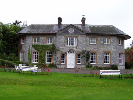 Assolas Housecountry house · 851 yd
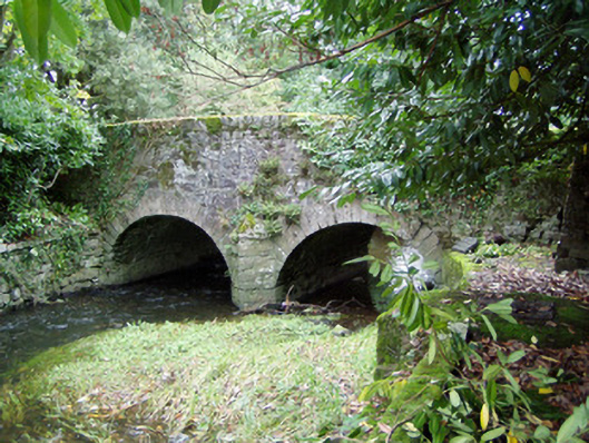 Assolas Bridgebridge · 879 yd
 European YewEuropean Yew · 906 yd
 Burial ground in AssolasBurial ground · 1238 yd
 Ballyheen Castle (Site of)Castle, unclassified · 1287 yd
 CastleCastle, unclassified · 1580 yd
 Graveyard in Ballygiblin (duhallow By.)Graveyard · 1.4 mi
 Kanturk CastleHeritage attraction · 3.2 mi
 St Fursey's WellSpring · 3.3 mi
 Hanna SheehyMemorial · 3.3 mi