What is recorded here
Located in a slight E-W dip or fold between a rise to the N and the ridge of Knowth c. 200m to the S, and it is also at the headwaters of a small WSW-ENE stream. An area of about 20 acres (c. 7.5 ha) has relict field banks and silted drains. The fields are generally rectangular (dims c. 30m x. c. 20m to c. 60m x c. 50m) and some are attached to the large enclosure which has a burial ground (ME019-028----), a structure (ME019-086----) and an industrial site (ME019-087----) at the centre. The enclosures (ME019-073----; ME019-075----) are within the area and both might be a part of the field system. However, a bank from the latter overlies the ring-ditch (ME019-029----).
Monument visible on Google Earth photograph taken 12 November 2005.
See attached images of monument taken from Google Earth.
The above description is derived from the published 'Archaeological Inventory of County Meath' (Dublin: Stationery Office, 1987). In certain instances the entries have been revised and updated in the light of recent research.
Date of upload: 10 July 2007
Amended 29 January 2021
The monument record does not grant public access. Check the route and ask the landowner before entering private land.
- What survives
- Recorded monument
Places near here
 Enclosure in KnowthEnclosure · 159 yd
 Not indicaetdPassage tomb · 490 yd
 Knowth Timber CircleHeritage attraction · 528 yd
 KnowthArchaeological place · 554 yd
 Knowth Fox CovertWood · 965 yd
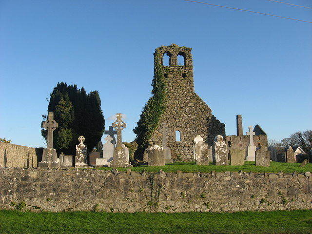 Church (in Ruins)Church · 1.1 mi
 mill (water)mill (water) · 1.1 mi
 Dowth CastleCastle, tower house · 1.7 mi
 Brú na Bóinne Visitors CentreVisitor information · 1.8 mi
 Fennor CastleCastle · 2.1 mi
 Little WoodForest · 2.2 mi
 RiverviewMemorial · 2.2 mi