What is recorded here
Situated on high ground on the N bank of the W-E Boyle River as it leaves Lough Key. An area of c. 4 ha of pasture contains about fifteen small fields (dims c. 20m x c. 20m to c. 30m x 60m) defined by low banks, scarps or grass-covered stone spreads. The fields are largely rectangular, but triangular and D-shaped forms also occur. The fields are probably associated with the Bishop's Palace (RO006-013002-) and the burial ground (RO012001-) on the S edge of the fields. One large enclosure (diam. c. 80m) defined by an earth and stone bank with an outer fosse is centred on the burial ground and it may be an ecclesiastical enclosure (Read 2010d, 43, 54, fig. 2.4).
Compiled by: Michael Moore
Date of upload: 24 August 2010
The monument record does not grant public access. Check the route and ask the landowner before entering private land.
- What survives
- Recorded monument
Places near here
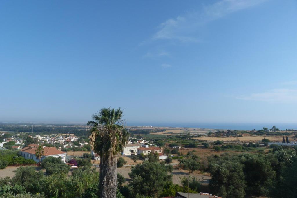 Bishops SeatEcclesiastical residence · 108 yd
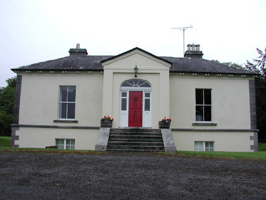 Riversdale Housecountry house · 298 yd
 Religious houseReligious house, Franciscan Third Order Regular · 483 yd
 Tober PatrickHoly well · 663 yd
 Errironagh WoodForest · 1504 yd
 Lahan IslandIslet · 1.0 mi
 Smutternagh WoodWood · 1.4 mi
 Swallow IslandIslet · 1.5 mi
 Longford HillMountain / peak · 1.6 mi
 Lough Key Forest ParkWood · 2.3 mi
 Erris BayBay · 2.7 mi
 Turlough O'CarolanMemorial · 4.2 mi