What is recorded here
In improved pasture, on a gentle S-facing slope. Possible field system surrounding enclosures (TS060-035----, TS060-035001- and TS060-035002-). Remains of levelled bank (Wth at top 2m; overall Wth 4.35m; int. H 0.15m; ext. H 0.2m; L 74m) extends (long-axis NNW-SSE), from N-side of field, in a SSE direction. It stops short of enclosure (TS060-035001-) and branches to E (L 60m) and W (L 42m). Similar bank (L 70m) extends (long-axis NW-SE) to SE from enclosure (TS060-035----) and continues toward existing field boundary at SE. Branch of similar bank (long-axis WSW-ENE) extends at right angle to ENE-side. Second bank (L 11m) extends (long-axis c. N-S) from same enclosure at SSW and dog-legs (L 18m) to W and again to S (L 49m) where it terminates 2m short of the existing field boundary. Bank (L 28m) extends (long-axis E-W) from N-end of latter and terminates at E-bank of enclosure (TS060-035002-). Linear depressions in W-side of field are likely associated with drainage.
Compiled by: Jean Farrelly
Date of upload: 26 August 2011
The monument record does not grant public access. Check the route and ask the landowner before entering private land.
- What survives
- Recorded monument
Places near here
 Enclosure in Kilmore UpperEnclosure · 59 yd
 Enclosure in Kilmore LowerEnclosure · 390 yd
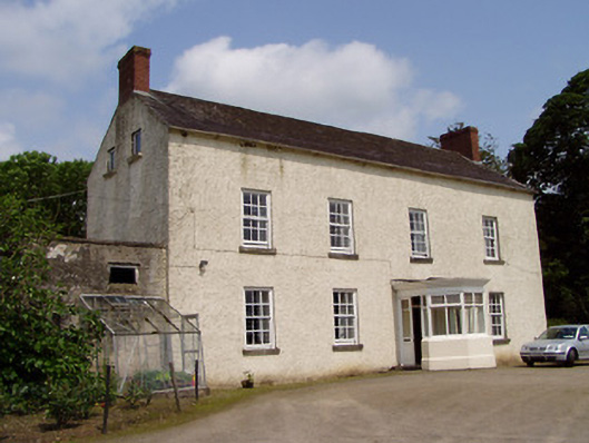 Kilmore Househouse · 398 yd
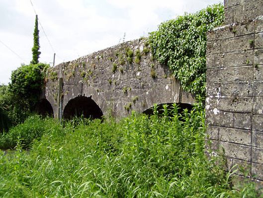 Aughnagross Bridgebridge · 448 yd
 Castle (in ruins)Castle, tower house · 1131 yd
 European ashEuropean ash · 1462 yd
 Bawn in Ballinaclogh (rathlynin Par.)Bawn · 1479 yd
 Woodcock GroveWood · 2.0 mi
 Athassel PrioryHeritage attraction · 3.5 mi
 Hore AbbeyHeritage attraction · 4.8 mi
 The Maid of ErinMemorial · 7.4 mi
 The RockViewpoint · 8.6 mi