What is recorded here
Situated on a slight rise in a fairly level landscape with a S-N stream c. 150m to the W and a small E-W valley just to the N. Elements of a field system consisting of at least two rectangular fields (dims. c. 40m x c. 40m) are visible on aerial photographs (MM (54) 30-6; WX 98, 5-8) and digital aerial photographs (WX024-045_1 to _9) taken in 2006 overlying the ecclesiastical enclosure (WX024-045003-) associated with Killegney church (WX024-045001-) S of the graveyard (WX024-045002-).
Compiled by: Michael Moore
Date of upload: 25 June, 2012
The monument record does not grant public access. Check the route and ask the landowner before entering private land.
- What survives
- Recorded monument
Places near here
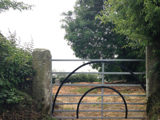 graveyard/cemeterygraveyard/cemetery · 46 yd
 IndicatedEcclesiastical enclosure · 72 yd
 Ladys WellHoly well · 114 yd
 Embanked enclosureCastle, motte · 410 yd
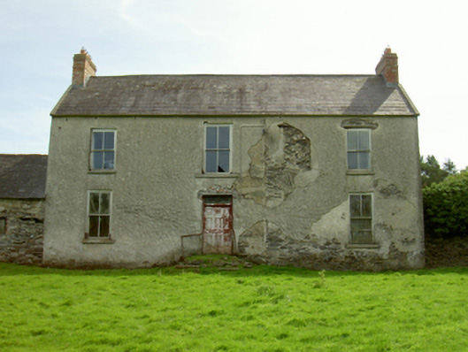 Killegney Housefarm house · 411 yd
 Ruin of a small castleRuins · 2.5 mi
 Carrickmastia HillMountain / peak · 2.9 mi
 1798 RebellionMemorial · 3.9 mi
 CarrigvahanaghMountain / peak · 4.5 mi
 1798 MemorialMemorial · 4.7 mi
 Silver WattleSilver Wattle · 5.9 mi
 Killoughrum ForestForest · 6.2 mi