What is recorded here
Three shallow ditches cut across a sunny Kilkenny slope, dividing the land into long strips where medieval hands grew food. They buried ordinary pots in the ditch soils, then vanished beneath later farms and modern roads. The shape still suggests people who measured life in seasons, not years.
On a gentle S-facing slope in rolling landscape under tillage. Excavated in 2007 in advance of the N9/N10 Kilcullen to Waterford road improvement scheme (Licence no. E3575). A field system consisting of three E-W boundary ditches and an associated linear furrow. These were dated to the medieval period on the basis of medieval pottery (13th-century Kilkenny-type ware) in their fills. The boundaries extend beyond the limits of the excavation to the W. Post-medieval features including structures, linear drains, ditches and furrows relating to a farmstead were excavated in the same area. A field system (KK027-017----) lies c. 200m to the NW. (Kyle 2010, 250, no. 947; Kyle and Coughlan 2012)
Compiled by: Mary Tunney
Date of upload: 11 December 2013
The monument record does not grant public access. Check the route and ask the landowner before entering private land.
- What survives
- Recorded monument
Places near here
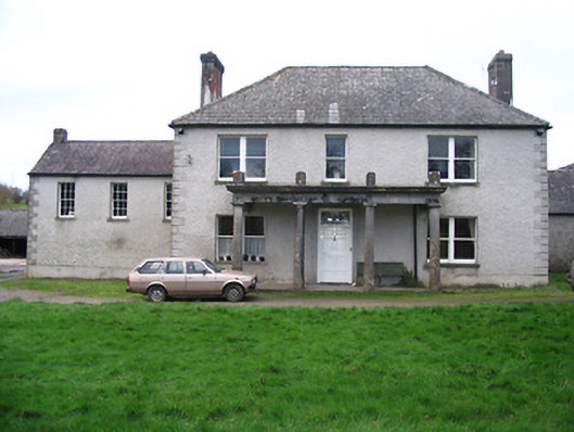 Kellsborough Househouse · 750 yd
 Enclosure in Rathduff LowerEnclosure · 813 yd
 Enclosure in LawcusEnclosure · 847 yd
 Coortaur Castle (in ruins)Castle, unclassified · 1270 yd
 Prior's TowerCastle · 1291 yd
 Abbey (in ruins)Religious house, Augustinian canons · 1329 yd
 Kells Augustinian PrioryHeritage attraction · 1405 yd
 Kells Loop WalkWalking route · 1519 yd
 Kells Priory Mill MuseumMuseum · 1575 yd
 Famous Horses of KellsMemorial · 1754 yd
 RIC BarracksMemorial · 1.0 mi
 Lacken WellSpring · 1.2 mi