What is recorded here
In tillage. A sub-square enclosure (dims. c. 50m N-S), the fosse of which was identified as a cropmark on an aerial photograph (CUCAP ATA007, 16 July 1967). Though less well defined, there appears to be an adjoining sub-rectangular cropmark enclosure to the S with a curving fosse running SE from the latter’s SE angle. Possibly part of a field system.
See attached:
KK027-017----_01 aerial photograph (CUCAP ATA007, 16 July 1967)
Compiled by: Jean Farrelly
Date of upload: 27 March 2023
The monument record does not grant public access. Check the route and ask the landowner before entering private land.
- What survives
- Recorded monument
Places near here
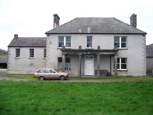 Kellsborough Househouse · 711 yd
 Enclosure in Rathduff LowerEnclosure · 965 yd
 Enclosure in LawcusEnclosure · 1179 yd
 Prior's TowerCastle · 1200 yd
 Abbey (in ruins)Religious house, Augustinian canons · 1234 yd
 Water TowerCastle · 1283 yd
 Kells Augustinian PrioryHeritage attraction · 1330 yd
 Kells Priory Mill MuseumMuseum · 1371 yd
 Kells Loop WalkWalking route · 1382 yd
 Famous Horses of KellsMemorial · 1600 yd
 Lacken WellSpring · 1.0 mi
 RIC BarracksMemorial · 1.2 mi