What is recorded here
The head of the Glenbeigh horseshoe range of mountains is characterised by an extensive cover of blanket peat. Extending NE from the middle of three lakes, at the Upper reaches of the Behy river, is a network of pre-bog Walls and associated sites in an area measuring c. 1.1km x c. 750m. The exposed walls consist of up…
Read the whole record
From the National Monuments Service (Archaeological Survey of Ireland) record KE071-043
Places near here
Photo credits
- Maker not stated on source page, sketchfab.com
- Maker not stated on source page, www.pinterest.com
- Colin Park, Wikimedia Commons · CC BY-SA 2.0
- Colin Park, Geograph · CC BY-SA 2.0
- Maker not stated on source page, www.dreamstime.com
- Ian S, Wikimedia Commons · CC BY-SA 2.0
- National Inventory of Architectural Heritage
- Josh Jackson, Wikimedia Commons · CC BY 2.0
- photo taken by SteffenMP ( de:Benutzer:SteffenMP ), Wikimedia Commons · CC BY-SA 3.0
- Rod Allday, Geograph · CC BY-SA 2.0
- Goatoo, Wikimedia Commons · CC BY-SA 3.0
- Graham Horn, commons.wikimedia.org
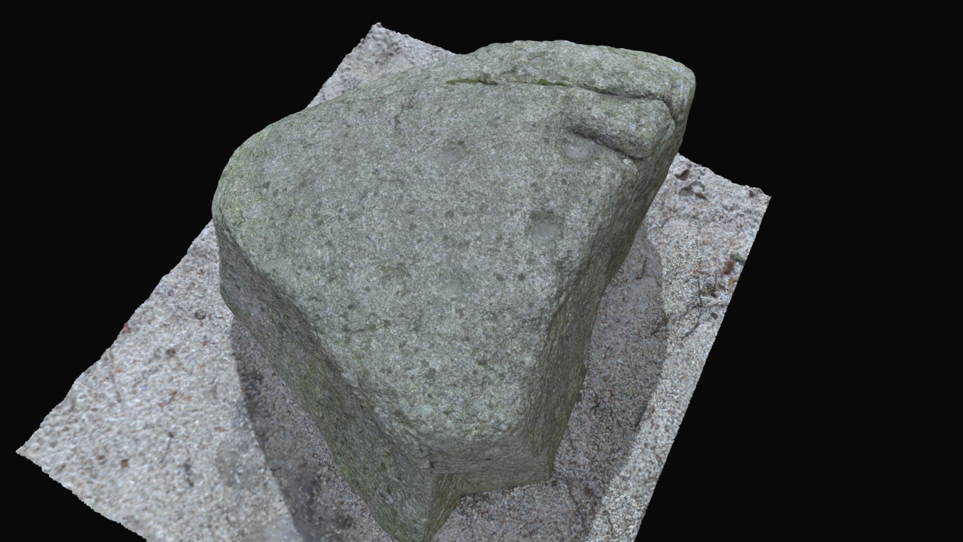 Cupmarked stone in CoomasaharnCupmarked stone · 1555 yd
Explorer Tom Cupmarked stone in Coomasaharn has grooves that look like someone was sharpening a really old knife. It’s got a cupmark…
 Fairy fort / stone ringfort in CoomasaharnFairy fort / stone ringfort · 1651 yd
Explorer Tom Fairy fort / stone ringfort in Coomasaharn spends its days rearranging its own stones when nobody is looking, just to…
 MullaghnarakillMountain / peak · 1.2 mi
Explorer Tom Mullaghnarakill has a tunnel that supposedly goes straight to the nearest pub, saving you forty minutes of walking…
 BeenmoreMountain / peak · 1.6 mi
Explorer Tom Beenmore is guarding a hidden treasure that is definitely an empty biscuit tin from 1982, buried under some…
 Ballinakilla CemeteryCemetery · 2.3 mi
Explorer Tom Ballinakilla Cemetery in County Kerry was saved by a hero nobody remembers who once stopped a rogue cow from trampling…
 Gleensk ViaductBridge · 3.0 mi
Explorer Tom Gleensk Viaduct took about twelve million cups of tea to build, mostly because the engineers were arguing about the…
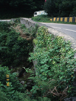 O'Connell's BridgeBridge · 3.0 mi
Explorer Tom O'Connell's Bridge in Gleensk would survive a zombie attack by simply standing still and looking boring. It sits next…
 Soft Tree-fern3.9 mi
Explorer Tom This Soft Tree-fern in County Kerry would spend its lotto win on a very expensive haircut. It thinks it’s the main…
 Chilean wine palm3.9 mi
Explorer Tom Chilean wine palm in County Kerry made the map makers look foolish because they forgot to check if it actually grew…
 Kells BeachBeach / strand · 4.2 mi
Explorer Tom Kells Beach tucks a sandy crescent beside a small harbour on the northern edge of Kerry's Iveragh Peninsula, and Tom…
 Rossbeigh BeachBeach / strand · 4.6 mi
Explorer Tom Rossbeigh Beach stretches out near Glenbeigh with enough sand and open sky to make me forget every sensible errand I…
 Paírc na nGael, Glenbeigh-GlencarGAA ground · 4.8 mi
More archaeology and monuments in County Kerry · All of County Kerry

What do you know about this place?Tap to add a comment or ask a question