What is recorded here
Located on a low N-S spur with a canalised W-E stream just to the S. These fields are not depicted on any map but are visible on aerial photographs (ACAP: 307/ 1586-7) and some later series (OSAP: 2000, 2005; Digital Globe; Golgle Earth 19/03/2015). An area of about 6.5 ha (c. 16 acres) contains relict banks forming fairly small fields (dims c. 50m x c. 30m). Some N-S relict ditches drain the area from a small pond at the N limit into a small canalised W-E stream. One field at the W edge has a circular mound (diam. 6.5m; H 0.5m), and there are some relict quarries at the N edge of the fields. Cultivation ridges occupy much of the area, often confined within field boundaries. There is a possible house site c. 15m from the stream. It appears as rectangular platforms (dims 7.4m N-S; 6.4m E-W; H c. 0.2m).
The above description is derived from the published 'Archaeological Inventory of County Meath' (Dublin: Stationery Office, 1987). In certain instances the entries have been revised and updated in the light of recent research.
Compiled by: Michael Moore
Date of revision: 15 April 2019
The monument record does not grant public access. Check the route and ask the landowner before entering private land.
- What survives
- Recorded monument
Places near here
 Lough WoodWood · 530 yd
 Font in MartryFont · 942 yd
 CrossCross, Wayside cross · 1389 yd
 TuliptreeTuliptree · 1453 yd
 BallybegMountain / peak · 1667 yd
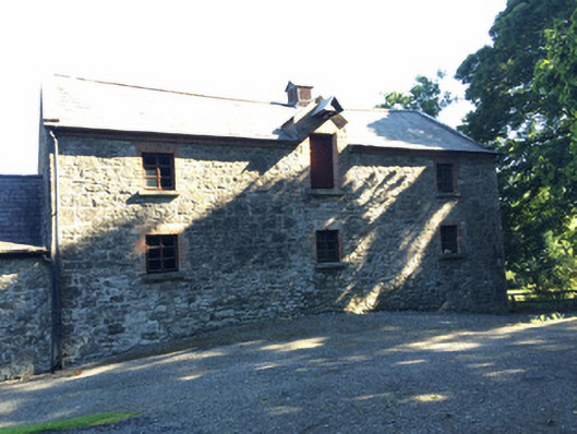 Martry Millmill (water) · 1.1 mi
 Scoil Náisiúnta Chaitríona Naofaschool · 1.5 mi
 CastleCastle, unclassified · 1.6 mi
 Castle ruinsCastle · 2.0 mi
 Faughan HillMountain / peak · 2.3 mi
 Saint John's CemeteryMemorial · 3.1 mi
 The Parnell GardenMemorial · 3.2 mi