What is recorded here
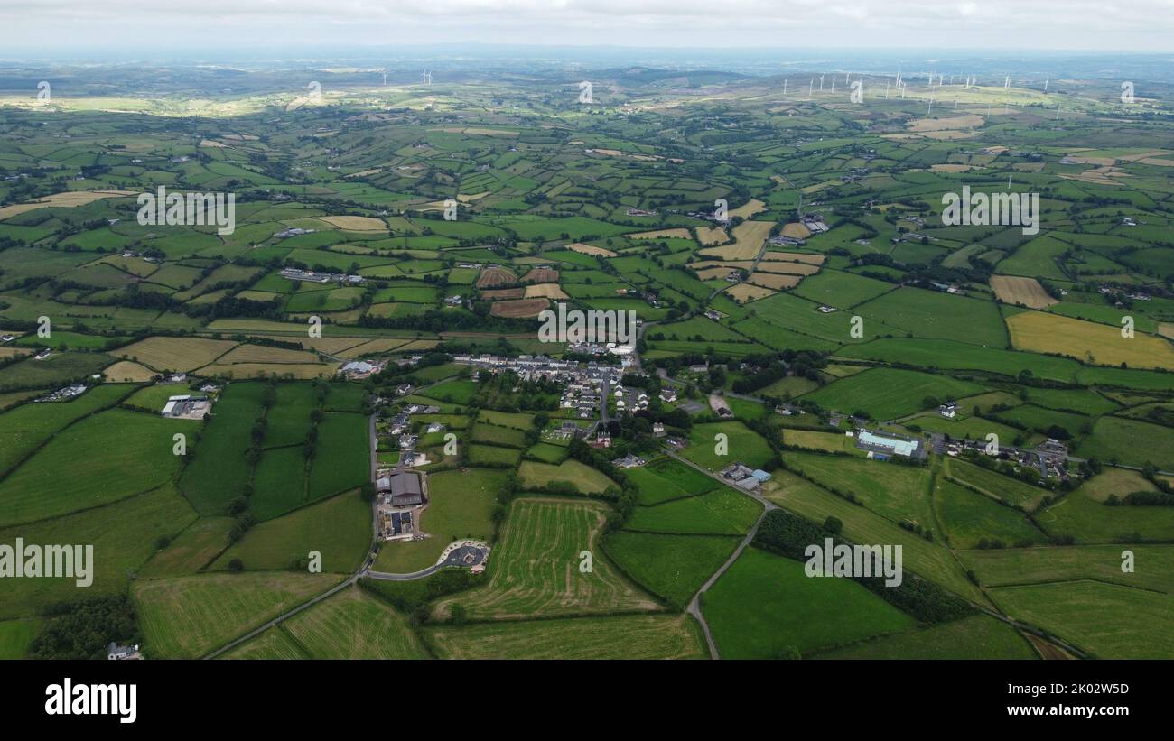
Situated on W facing slope of a gentle ridge in rolling pasture, an enclosure (LI013-068003----) lies c. 10m to the NW and ringfort (LI013-068002----) 40m to the NW. Recorded as linear features by Celie O'Rahilly in 1995. The site was inspected in 2004 and described as a possible field system consisting of a ridge that has been scarped (Wth 6m; H 1m) and a bank (L 30m; Wth 3.2m; H 0.2m) runs from the scarp down the slope to W. Cropmark of possible field system visible on Digital Globe orthophoto taken 2011-13. Cropmark of field system visible on Google Earth orthoimages.
See attached Google Earth orthophotos
Complied by: Fiona Rooney
Date upload: 29 June 2020
The monument record does not grant public access. Check the route and ask the landowner before entering private land.
- What survives
- Recorded monument
Places near here
 Enclosure in GreenmountEnclosure · 205 yd
 Mound in GreenmountMound · 343 yd
 Castle FieldCastle, unclassified · 1426 yd
 Ballymurphy Househouse · 1661 yd
 Fort Etnacountry house · 1683 yd
 Ballinveala Castle (in ruins)Castle, tower house · 2.1 mi
 European ashEuropean ash · 3.9 mi
 Biodiversity in the Maigue CatchmentVisitor information · 5.2 mi
 Limerick Seamen's MemorialMemorial · 5.2 mi
 Saint John Paul IIMemorial · 5.3 mi
 Dysert AenghusaHeritage attraction · 5.6 mi
 Kinnoor WellSpring · 7.1 mi
Other information
Photo: Credit not shown in the picture search · Rights wording not checked; contact us if this picture should be removed