
What is recorded here
Situated on a ridge in gently rolling pasture c. 30m SE of LI013-068002-; c. 10m NE of LI013-068001-. Roughly rectangular area (23m N-S; c. 22m E-W) enclosed to N, W and S by a bank (int. H 0.3m; Wth. 1m; ext. H 0.1m).
The monument record does not grant public access. Check the route and ask the landowner before entering private land.
- What survives
- Recorded monument
Places near here
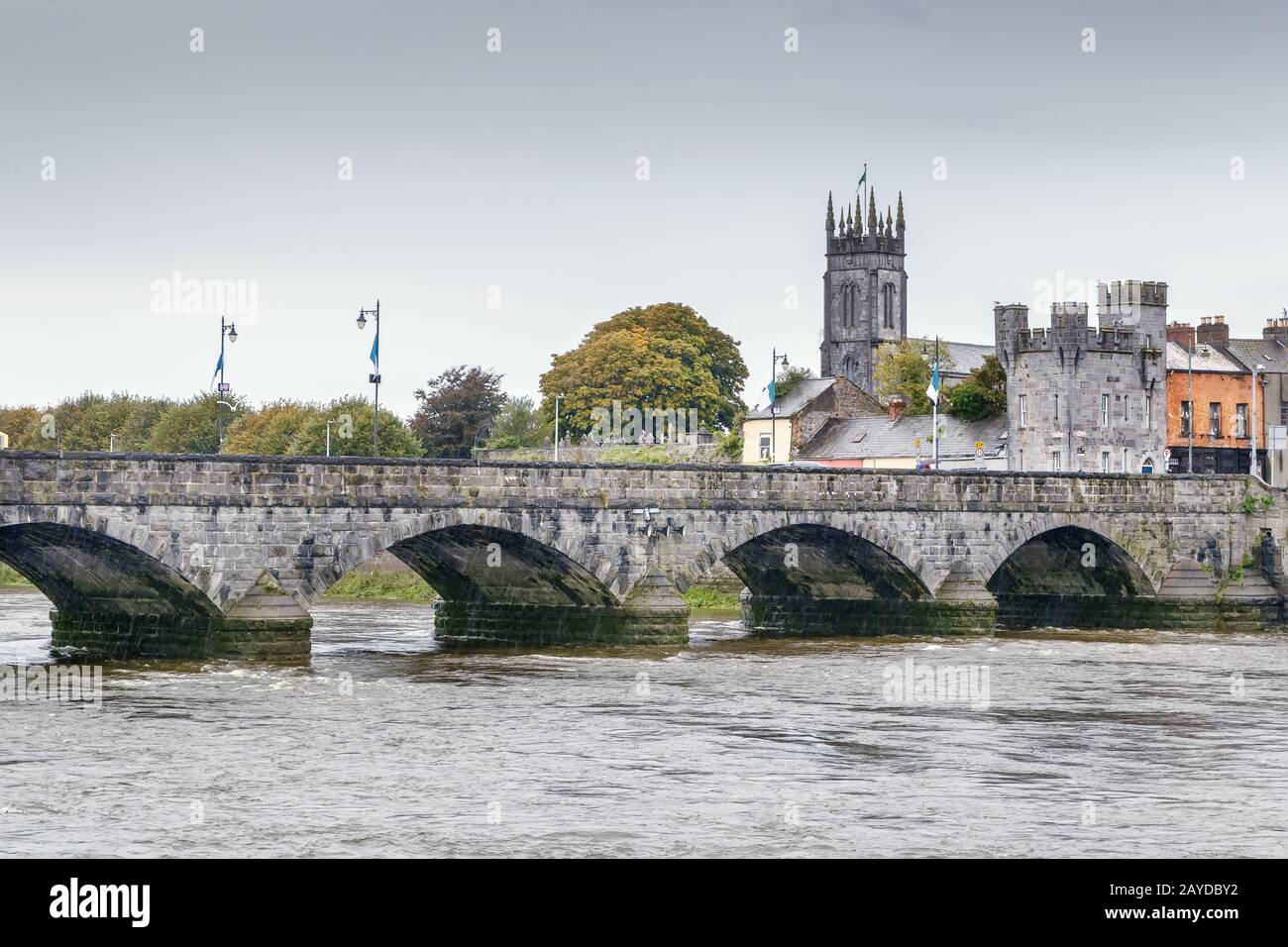 Mound in GreenmountMound · 138 yd
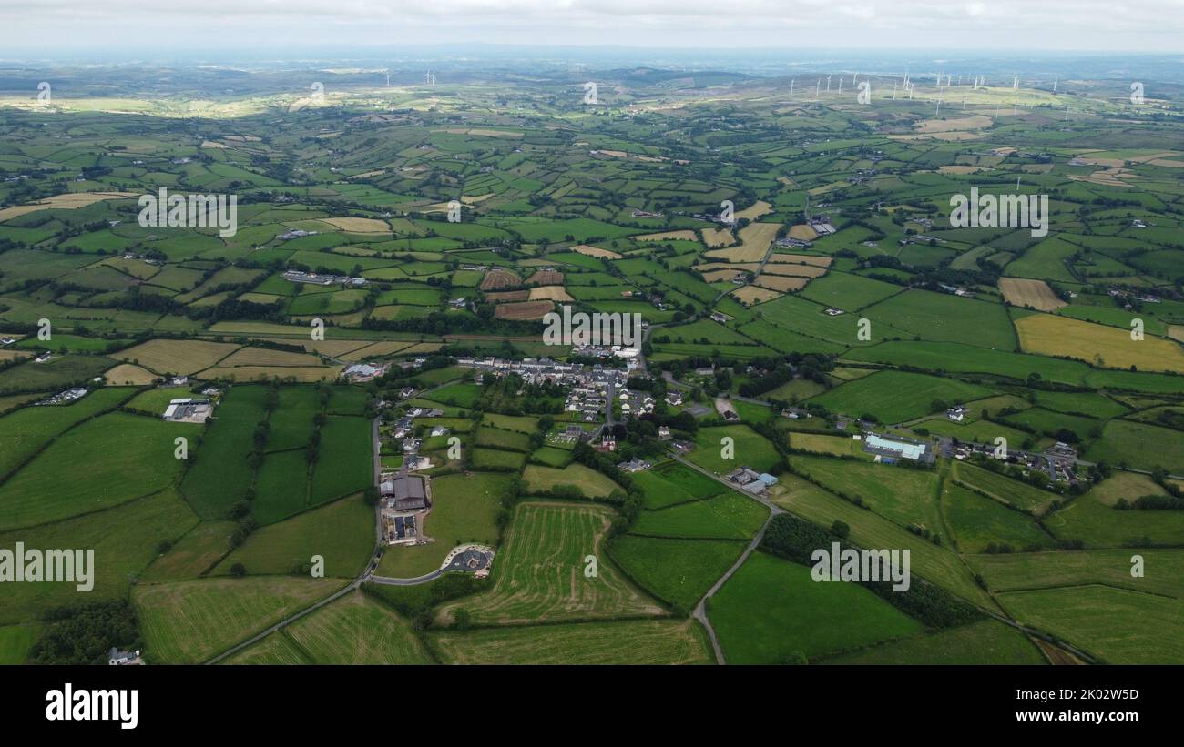 Field system in GreenmountField system · 205 yd
 Castle FieldCastle, unclassified · 1377 yd
 Fort Etnacountry house · 1629 yd
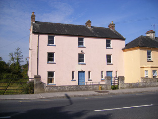 RIC barracksRIC barracks · 1700 yd
 Ballinveala Castle (in ruins)Castle, tower house · 2.2 mi
 Sailors HaggardMemorial · 5.3 mi
 Kinnoor WellSpring · 7.1 mi
 Grass IslandIslet · 7.5 mi
 Maiden RockNamed rock · 7.7 mi
 Flat cemetery in Kiltenan SouthFlat cemetery · 7.8 mi
 Mellon PointHeadland · 8.3 mi
Other information
Photo: Credit not shown in the picture search · Rights wording not checked; contact us if this picture should be removed