
What is recorded here
From the National Monuments Service (Archaeological Survey of Ireland) record LE002-028001
Places near here
Photo credits
- Michael Murtagh, Geograph · CC BY-SA 2.0
- Maker not stated on source page, au.pinterest.com
- Maker not stated on source page, commons.wikimedia.org
- Maker not stated on source page, curiosmos.com
- Maker not stated on source page, storage.googleapis.com
- Maker not stated on source page, fr.tripadvisor.ca
- Maker not stated on source page, en.wikipedia.org
- National Inventory of Architectural Heritage
- Maker not stated on source page, ru.wikipedia.org
- Maker not stated on source page, www.tripadvisor.ie
- Maker not stated on source page, www.findagrave.com
- Kmcnamee, Wikimedia Commons · CC BY-SA 4.0
 Arroo MountainMountain / peak · 1003 yd
Explorer Tom Arroo Mountain got its name wrong on the map because the cartographer was drunk on a particularly potent local cider…
 Megalithic structure in Aghaderrard EastMegalithic structure · 1089 yd
Explorer Tom Megalithic structure in Aghaderrard East is jealous of Newgrange because nobody ever writes songs about this cist. It’s…
 Megalithic structure in GorteendarraghMegalithic structure · 1453 yd
Explorer Tom Megalithic structure in Gorteendarragh has an imaginary fan club of very serious geologists. The stones are just poking…
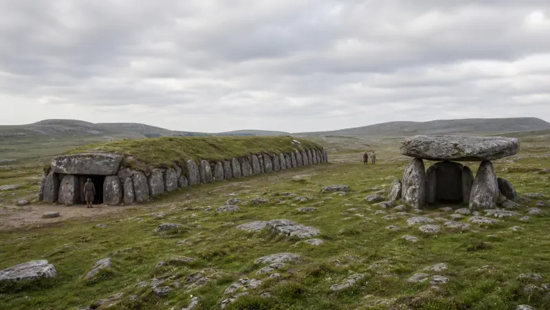 Aghaderrard Court TombArchaeological place · 1674 yd
Explorer Tom Aghaderrard Court Tomb deals with nosy neighbours by simply closing its stone door on them, effectively ending the…
 Fairy fort / stone ringfort in RosclogherFairy fort / stone ringfort · 1.3 mi
Explorer Tom Fairy fort in Rosclogher has a ghost who’s too lazy to haunt it properly. He just naps in the stone spread all day.…
 Bullaun stone in Aghaderrard EastBullaun stone · 1.3 mi
Explorer Tom Eight basins on this stone in Aghaderrard East are waiting for their next big moment of glory. It’s had more names than…
 Standing stone in ErriffStanding stone · 1.6 mi
Explorer Tom Standing stone in Erriff was built on a bargain that nobody kept. The local farmer promised to mow the grass forever…
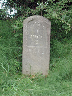 milestone/milepost1.7 mi
Explorer Tom Milestone or milepost in Ballymore nearly made it famous when a tourist mistook it for a toilet and tried to sit on it…
 Enclosure in Sracummer (rosclogher By.)Enclosure · 1.7 mi
Explorer Tom Enclosure in Sracummer refused to let the bishop visit because it was having a nap. Overgrown and hidden, it’s probably…
 Church (in Ruins)Church · 2.1 mi
Explorer Tom Church in Kinlough is having a bit of a diva moment by Lough Melvin, refusing to show its full face without a proper…
 Mapped graveyardGraveyard · 2.3 mi
Explorer Tom Mapped graveyard in County Leitrim took forty cups of tea to build because the masons needed breaks. They drank so much…
 Melvin Gaels GAAGAA ground · 2.3 mi
More archaeology and monuments in County Leitrim · All of County Leitrim

What do you know about this place?Tap to add a comment or ask a question