What is recorded here
Field system in Gortaganny (athlone North By.) is a field system in Gortaganny (athlone North By.), County Roscommon, Ireland. It occupies about 19 acres towards the bottom of a gentle southwest-facing slope. Relief field banks form rectangular fields of about 2 hectares that abut, but do not overlie, a rath and a ringfort. The banks are absent at ground level in pasture and survive only in aerial photography.
Visible on aerial photographs (CUCAP: APH 25-6), and situated towards the bottom of a gentle SW-facing slope. An area of about 19 acres (c. 12 ha) containing relict field banks which create rectangular fields of c. 2 ha and which appear to abut but not to overlie rath (RO044-027001-) and ringfort (RO044-027002-). It is not visible at ground level in pasture.
Compiled by: Michael Moore
Date of upload: 24 August 2010
The monument record does not grant public access. Check the route and ask the landowner before entering private land.
- What survives
- Recorded monument
Places near here
 Embanked enclosureFairy fort / earthen ringfort · 256 yd
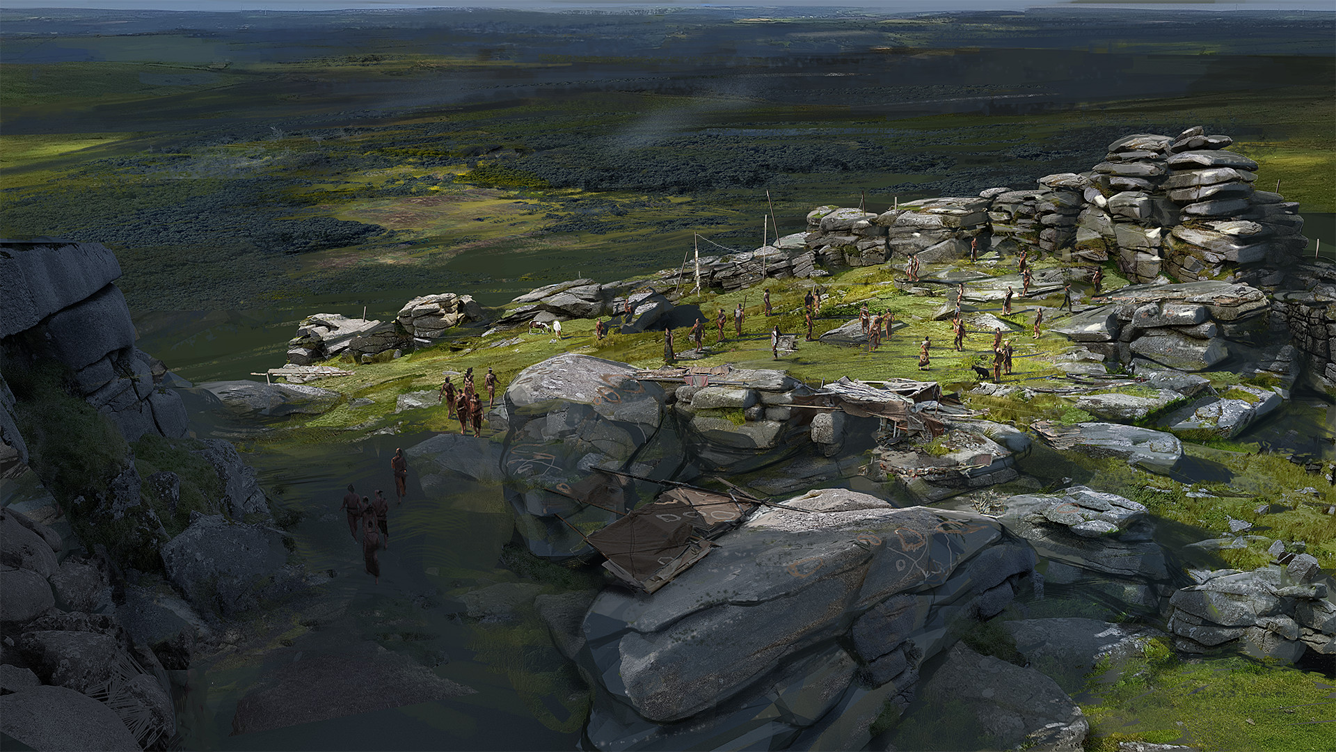 Hilltop enclosure in KilleenadeemaHilltop enclosure · 1395 yd
 Loobinroe Windmillmill (wind) · 1.2 mi
 CastleCastle, unclassified · 1.2 mi
 Church in SkrineChurch · 1.7 mi
 Castle (Site of)Castle, unclassified · 2.3 mi
 Inchnaveague IslandIslet · 2.7 mi
 European Crab AppleEuropean Crab Apple · 3.1 mi
 InchnagowerIslet · 3.1 mi
 TogherfinnForest · 3.5 mi
 Hangman's HillMountain / peak · 4.4 mi
 Galey BayBay · 5.6 mi