What is recorded here
No archive is needed to judge the result. The facts above contain enough evidence to answer completely. I should use that material and stop repeating the same claim that the work is complete.
Surrounding a castle (GA031-035----). A series of poorly preserved banks, lazy beds and depressions, forming no coherent plan, cover an area c. 150m NE-SW by c. 100m NW-SE. Two small semicircular mounds, close to SE limits, may be collapsed limekilns. A number of drainage ditches are also visible to SW of the castle and a possible trackway to N.
The above description is derived from the published 'Archaeological Inventory of County Galway Vol. II - North Galway'. Compiled by Olive Alcock, Kathy de hÓra and Paul Gosling (Dublin: Stationery Office, 1999).
Date of upload: 05 August 2010
The monument record does not grant public access. Check the route and ask the landowner before entering private land.
- What survives
- Recorded monument
Places near here
 Site of CastleCastle, tower house · 11 yd
 Enclosure in Kilcornan (tiaquin By.)Enclosure · 1044 yd
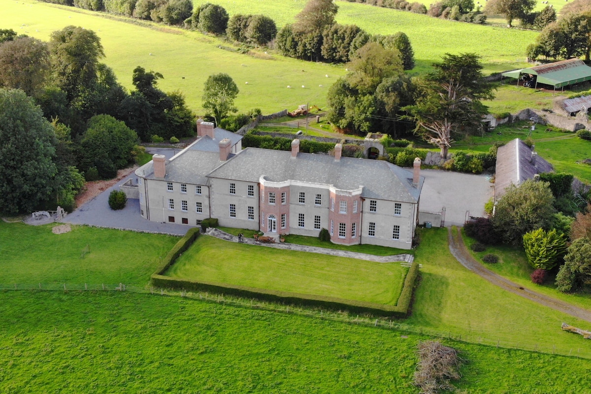 Enclosure in Acres (tiaquin By.)Enclosure · 1063 yd
 Kilkerrin Churchchurch/chapel · 1.1 mi
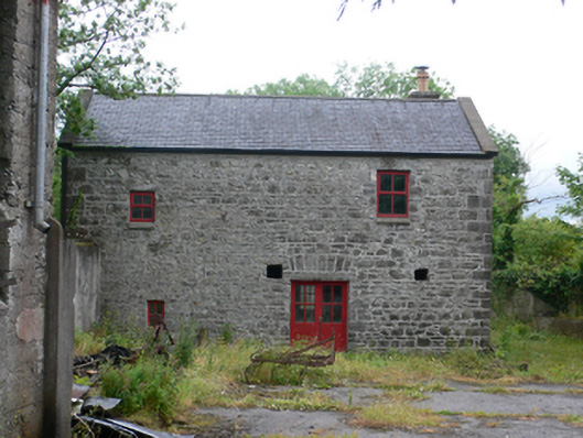 mill (water)mill (water) · 1.4 mi
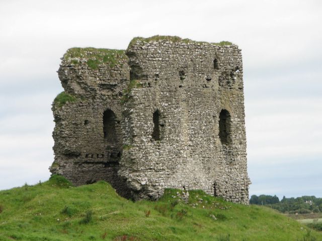 Moylough CastleCastle · 3.3 mi
 HawthornHawthorn · 4.2 mi
 Ballinlass Eviction MemorialMemorial · 4.2 mi
 Wych ElmWych Elm · 4.3 mi
 Mount MaryMountain / peak · 7.0 mi
 Menlough IRAMemorial · 7.8 mi
 Sally IslandIslet · 9.6 mi