What is recorded here
Covering a large, roughly rectangular area (dims. L c. 450m NE-SW; Wth c. 350m NW-SE) and occupying the interior and overlying the S perimeter of an older, possible ecclesiastical enclosure (KD017-009004-). A series of some 16 rectilinear small and larger fields (dims. L c. 20-c.50m; Wth c. 30-c.60m) are defined by low, intermittent earthen banks (Wth 3-5m; H 0.2-0.5m) and low scarps (H 0.5m) which may be associated with the possible medieval church site (KD017-009001-) immediately to the W (CUCAP (1966) APH084-9; CUCAP (1967) ATA031-2). Earthworks of field system containing cultivation ridges clearly visible on Google Earth orthoimage taken 17/01/2020.
See attached oblique aerial photographs (CUCAP APH084-9; ATA031-2) taken 1966 and 1967 and Google Earth orthoimages.
Compiled by: Gearóid Conroy
Revised by: Caimin O'Brien
Date of revised upload: 21 July 2021
The monument record does not grant public access. Check the route and ask the landowner before entering private land.
- What survives
- Recorded monument
Places near here
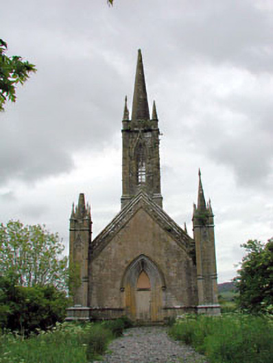 Feighcullen Churchchurch/chapel · 99 yd
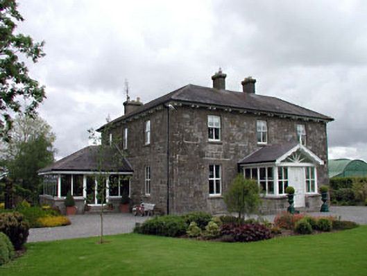 Feighcullen Housefarm house · 438 yd
 Enclosure in Cloncurry (offaly East By., Cloncurry Ed)Enclosure · 1.2 mi
 Enclosure in ConlanstownEnclosure · 1.4 mi
 Hill of AllenMountain / peak · 1.9 mi
 Chair of KildareCastle, unclassified · 2.3 mi
 Bawn in Grangeclare WestBawn · 2.9 mi
 Lullymore Heritage ParkHeritage attraction · 3.1 mi
 Foran's WoodForest · 3.1 mi
 Bithia Mary CrokerMemorial · 3.7 mi
 Killinthomas Wood (Rathangan)Wood · 3.9 mi
 Grand Canal WayVisitor information · 4.6 mi