What is recorded here
Cropmark of large enclosure (LI022-102----) and associated ridge & furrow cultivation ridges visible today on Digital Globe aerial photographs and earlier OSi aerial coverage. Could be the remains of a large field or paddock at the centre of a series of small fields containing cultivation ridges of medieval date and possibly associated with the medieval manor of Fedamore. Fedamore Church (LI022-100001-) and site of Fedamore Castle (LI022-140----) 220m to S and 500m to SW respectively.
Compiled by: Caimin O'Brien
Date of upload: 2 March 2020
The monument record does not grant public access. Check the route and ask the landowner before entering private land.
- What survives
- Recorded monument
Places near here
 Enclosure in FedamoreEnclosure · 1 yd
 Not indicated (C of I on site)Church · 443 yd
 Fedamore Housecountry house · 727 yd
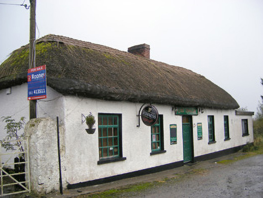 The Thatchhouse · 1169 yd
 Bawn in SkoolhillBawn · 1561 yd
 Carnane RockNamed rock · 1.2 mi
 Skool HillMountain / peak · 1.3 mi
 Dotted outlineBawn · 1.6 mi
 Banoge's WellSpring · 1.6 mi
 ToberauillinSpring · 1.9 mi
 Lough GurVisitor information · 3.3 mi
 Grange Stone CircleArchaeological place · 3.3 mi