What is recorded here
Visible on aerial photographs (OS: 1, 3322-1), and situated on a NE-facing slope above the SW shore of Lough Key. Three parallel scarps (L 100-150m NW-SE; H 0.5m) placed c. 100m apart run across the contours, creating long, rectangular fields covering a triangular area of c. 4.5ha (c. 12 acres).
Compiled by: Michael Moore
Date of upload: 24 August 2010
The monument record does not grant public access. Check the route and ask the landowner before entering private land.
- What survives
- Recorded monument
Places near here
 Bingham IslandIslet · 667 yd
 Erris BayBay · 696 yd
 Rockingham Housegate lodge · 902 yd
 Kilbryan Church (in Ruins)Church · 1113 yd
 Trinity IslandIslet · 1169 yd
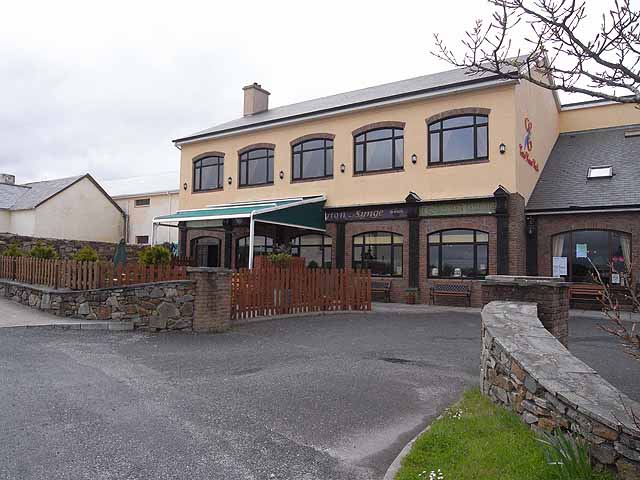 TobernadrinneyHoly well · 1239 yd
 OmdocatedFairy fort / stone ringfort · 1591 yd
 Lough Key Forest ParkWood · 1.1 mi
 Western RedcedarWestern Redcedar · 1.2 mi
 Horse-chestnutHorse-chestnut · 1.3 mi
 Boyle AbbeyHeritage attraction · 1.4 mi
 King William MemorialMonument · 1.5 mi