What is recorded here
Identified during aerial photographic survey by Dr. Gillian Barrett on 13 July 1990 and 15 July 1991. Aerial photographs (GB90.BC.26 (1990) and GB91.DW.36 (1991)) show the cropmarks of an extensive sequence of fosses running broadly north to south delineating a field system apparently aligned with a rectilinear enclosure (KD039-035----). (Barrett 2000, 87-106, Fig. 12.; ibid 2006 69-95, Fig.3.3)
Compiled by: Dr. Gillian Barrett
Date of upload: 12 December 2011
The monument record does not grant public access. Check the route and ask the landowner before entering private land.
- What survives
- Recorded monument
Places near here
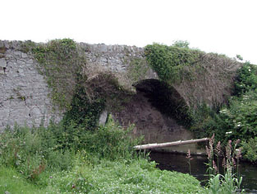 Newtown Bridgebridge · 237 yd
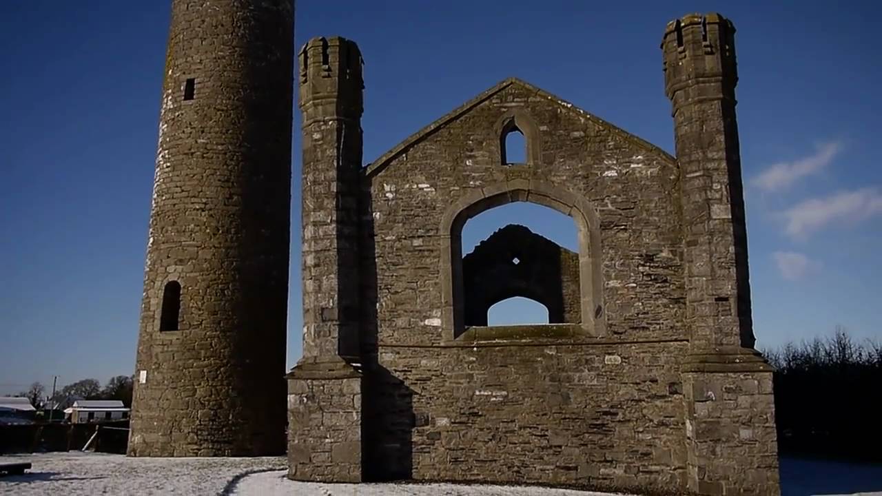 Church (in Ruins)Church · 291 yd
 Enclosure in BlackcastleEnclosure · 485 yd
 Enclosure in NewtownpilsworthEnclosure · 877 yd
 Castle in ruinsCastle, unclassified · 1531 yd
 Castle (in ruins)Castle, tower house · 1.4 mi
 Pedunculate OakPedunculate Oak · 2.2 mi
 Oak Park Forest ParkWood · 2.2 mi
 Lorcán Ó TuathailMemorial · 3.2 mi
 ProclamationMemorial · 3.4 mi
 Franciscan FriaryHeritage attraction · 3.6 mi
 Castledermot Round TowerHeritage attraction · 3.8 mi