What is recorded here
Located on the E-facing slope of the hill that has the motte and bailey (ME006-010----) at its summit. An aerial photograph (GB92.FD. 05), taken in September 1992, shows three large roughly rectangular fields (dims c. 100m NE-SW; c. 90-140m NW-SE) defined by broad scarps curving N-E-S descending the slope from the motte and on the N side of the road (ME006-010001-) and on the N side of a current WNW-ESE field bank and covers an area of about 15 acres (c. 6ha).
Compiled by: Geraldine Stout and Michael Moore
Date of revised upload: 22 October, 2018
The monument record does not grant public access. Check the route and ask the landowner before entering private land.
- What survives
- Recorded monument
Places near here
 MoatCastle, motte and bailey · 171 yd
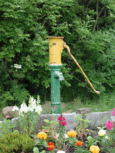 water pumpwater pump · 262 yd
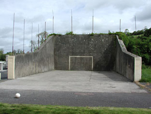 handball alleyhandball alley · 450 yd
 Font in DrumcondraFont · 543 yd
 Font (present location) in RathtrasnaFont (present location) · 617 yd
 Drumran HillMountain / peak · 1.1 mi
 Yellow HillMountain / peak · 1.2 mi
 Newstone Castle in RuinsCastle, tower house · 1.4 mi
 European White ElmEuropean White Elm · 4.2 mi
 Valley WoodWood · 4.3 mi
 Sir Frederick Foster MemorialMemorial · 4.5 mi
 Nobber GreenwayMemorial · 4.7 mi