What is recorded here
Doolin,doonmacfelim,teergonean holds a medieval field system stretching 4.5km along the Clare coast, linking Doolin Point and Ballyryan through dozens of enclosures and cashels. The irregular boundaries suggest generations of adaptation rather than a single grand design. People likely moved livestock, claimed turf or marked family land within those ancient lines. The coast still carries the shape of that repeated human choice.
An irregular field system associated with enclosures (CL008-057005-) and (CL008-057007-) and visible on Digital Globe (2011-13) and on OSi Aerial Premium orthophotographs (2012-2018). This lies within a much larger medieval field system (CL008-109001-) extending 4.5km along the coast from Doolin Point at SW to Ballyryan at NE that includes some 34 cashels and 26 enclosures.
Compiled by: Mary Tunney
Date of upload: 30 August 2021
The monument record does not grant public access. Check the route and ask the landowner before entering private land.
- What survives
- Recorded monument
Places near here
 Enclosure in DoolinEnclosure · 109 yd
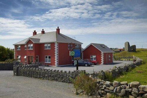 Enclosure in DoonmacfelimEnclosure · 381 yd
 Doonmacfelim Castle (in Ruins)Castle, tower house · 928 yd
 Church in BallaghalineChurch · 1070 yd
 bridgebridge · 1148 yd
 Fisherstreet PotCave · 1176 yd
 Doolin FerriesHeritage attraction · 1257 yd
 Wild Atlantic Way: Doolin PierVisitor information · 1263 yd
 Doolin PointHeadland · 1338 yd
 Ballaghaline PointHeadland · 1539 yd
 Crab IslandIslet · 1718 yd
 CastleCastle, unclassified · 1732 yd