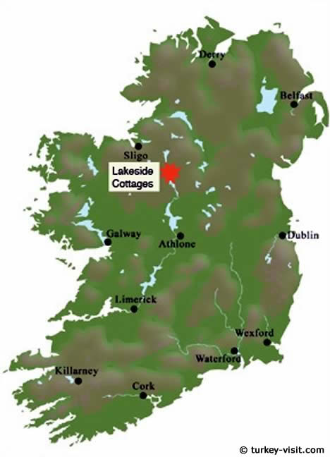
What is recorded here
In improved pasture on the demesne lands of Derk House, located 600m to N. Within a cluster of barrows (LI033-036001-/009-; LI033-090/091-; LI033-121/122----; LI033-154----) concentrated in the S half of Derk townland. Not depicted on historic OSi maps. Identified by Bruff aerial photographic survey in 1986 (Bruff 75; AP 4/3626) as a series of rectilinear enclosures. Visible as a pattern of rectilinear cropmarks, some perpendicular to each, located within four fields (400m NW-SE x 250m NE-SW) visible on OSi orthophoto taken between 2005-12 and on Google Earth orthoimage dated 20/09/2020. Linear cropmarks appear to be the remains of drainage ditches rather than a pre-1700 field system.
See attached Google Earth orthoimage and Bruff image
Compiled by: Martin Fitzpatrick
Date of upload: 12 April 2021
The monument record does not grant public access. Check the route and ask the landowner before entering private land.
- What survives
- Recorded monument
Places near here
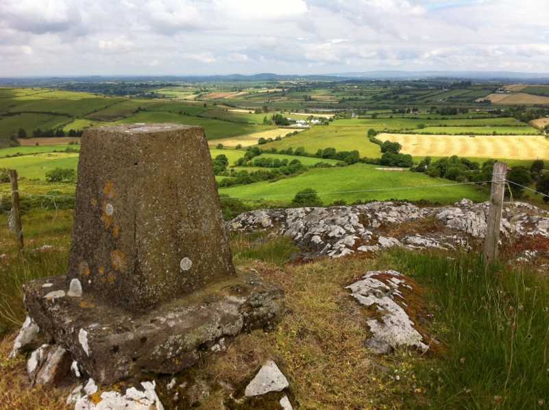 Enclosure in DerkEnclosure · 69 yd
 BarrowBarrow, ditch barrow · 307 yd
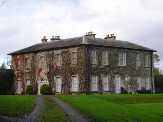 Derkcountry house · 666 yd
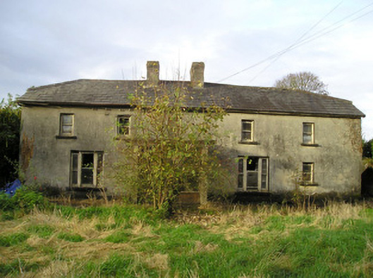 Derk Cottagehouse · 898 yd
 Site of Ballyneety CastleCastle, unclassified · 1.0 mi
 (Site of) CastleCastle, unclassified · 1.3 mi
 St. Patrick's WellSpring · 2.4 mi
 Kilteely HillMountain / peak · 2.6 mi
 KnockseefinMountain / peak · 2.6 mi
 Flat cemetery in Knockainy WestFlat cemetery · 6.0 mi
 St Patrick's WellSpring · 7.1 mi
 Ballinvreena LoopVisitor information · 10 mi
Other information
Photo: Credit not shown in the picture search · Rights wording not checked; contact us if this picture should be removed