What is recorded here
Cummeenshrule holds a circular hut and dry stone walls on a steep ridge above a tributary of the Coomeelan Stream. The field system faces west, catching late light while water moves along both sides of the land. It may have supported livestock, cultivation or both, though no name or date remains attached to the hands that built it.
In rough steep hill grazing, on the N side of the Priest’s Leap, on a W facing valley containing a tributary of the Coomeelan Stream. The remains of a circular hut site (KE103-060----) built on a low ridge of exposed bedrock. A small stream runs immediately to the W while the main river is further to the E. Immediately to the SW there is a small, roughly rectangular and partially built up area which could have been used for corralling livestock or for cultivation. Further to the SW and also to the N are two dry stone walls built across natural terraces.
Compiled by: Caimin O'Brien based on details provided by Tony Miller
Date of upload: 21 February 2023
The monument record does not grant public access. Check the route and ask the landowner before entering private land.
- What survives
- Recorded monument
Places near here
 The Priests LeapViewpoint · 716 yd
 The Priest's LeapMountain / peak · 1066 yd
 Enclosure in CooleenlemaneEnclosure · 1218 yd
 Hut site in CooleenlemaneHut site · 1300 yd
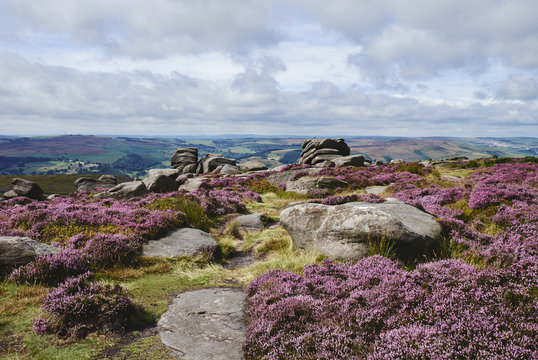 DrehidoughteraghBridge · 1.1 mi
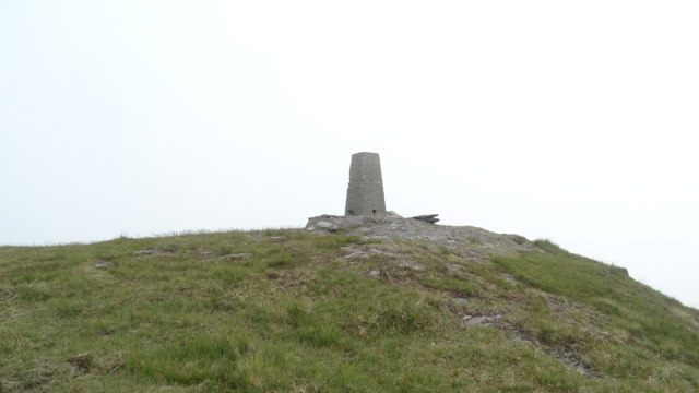 Knockboy North TopMountain / peak · 1.5 mi
 KilnKiln, lime · 1.6 mi
 Bonane Heritage ParkMuseum · 2.8 mi
 Bullaun StoneHeritage attraction · 2.8 mi
 CaoinkeenCliff · 2.8 mi
 Tasmanian bluegumTasmanian bluegum · 4.1 mi
 Daly's LoopWalking route · 4.1 mi