What is recorded here
Located on a fairly level landscape. The earthwork banks and ditches of a relict, grass-covered field system covering about 9 ha (c. 22 acres) are most clearly visible on Google Earth (08/11/2019; 17/01/2020). The fields are generally rectangular but vary in size from small (dims c. 25m x c. 15m) to large (dims c. 60m x c. 40m), but the defining features are fainter in Gilbertstown where cultivation ridges might be present. A rectangular enclosure (dims c. 50m ENE-WSW; c. 35m NNW-SSE) at the centre, in Cullentry, has wide fosses (Wth c. 6m) at N and S, and a rectangular structure, perhaps a house, at the NE angle. It is also visible on other aerial imagery, and it was first reported by Jean Charles Caillére.
See the attached enhanced view from Google Earth (17/01/2020)
Compiled by: Michael Moore
Date of upload: 11 October 2021
The monument record does not grant public access. Check the route and ask the landowner before entering private land.
- What survives
- Recorded monument
Places near here
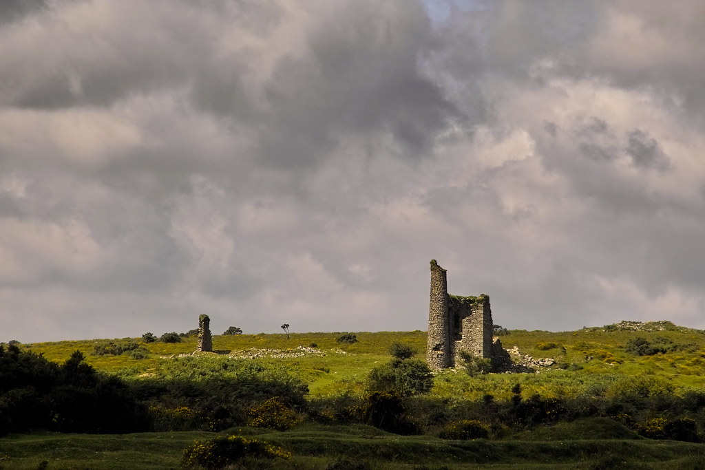 RuinChurch · 1667 yd
 EnclosureEnclosure, large enclosure · 1.4 mi
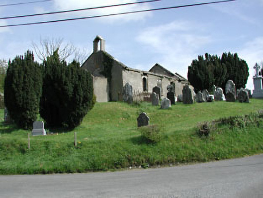 Saint Nicholas's Church (Castlerickard)church/chapel · 1.6 mi
 CastleCastle, motte · 1.6 mi
 Common LimeCommon Lime · 1.9 mi
 Concentric enclosure in ClonguiffinConcentric enclosure · 2.0 mi
 European BeechEuropean Beech · 2.0 mi
 Donore CastleCastle · 2.6 mi
 Croppies' GraveMemorial · 5.0 mi
 Cloncurry GraveyardHeritage attraction · 5.5 mi
 The Grill ShackHeritage attraction · 9.0 mi
 Mass was there in Penal TimesMemorial · 11 mi