DDiscover AloneMapAbout

Field system in Cregganroe

Field system
Computer-made picture that does not show Field system in CregganroeNot a photo of this monument
Computer-made picture. It does not show this monument. · Report the wrong picture

The monument record does not grant public access. Check the route and ask the landowner before entering private land.

What do you know about this place?Tap to add a comment or ask a question

What you write will be public.

What is recorded here

In rough, bracken- and moss-covered upland pasture, on the lower N-facing slope of a high rocky ridge. The terrain is very rough, densely strewn with boulders and broken by rock outcropping. To S, the ridge slope rises in a series of rough, uneven terraces to the ridge summit; to N, the slope drops abruptly to a flat…

Read the whole record
In rough, bracken- and moss-covered upland pasture, on the lower N-facing slope of a high rocky ridge. The terrain is very rough, densely strewn with boulders and broken by rock outcropping. To S, the ridge slope rises in a series of rough, uneven terraces to the ridge summit; to N, the slope drops abruptly to a flat expanse of bog which stretches N from the base of the ridge. A NNW-flowing stream is located on the E limits of the field system. There are extensive views over mixed bogland and pasture to NW, N and NE; gaps in a series of low hills to N allow glimpses of Clew Bay in the far distance, and the looming bulk of Croagh Patrick dominates the landscape to NE. This relict field system, associate with a dispersed cluster of subcircular booley huts (MA096-034001- to MA096-034010-), is not shown on the OS 6-inch maps. It consists of a discrete network of drystone walls, which can be traced over an area of c. 200m N–S by 200m E–W, encompassing a relatively level terrace, as well as sloping ground, on the lower N-facing slope of the ridge. The stream, flowing downslope into the bog to N, was clearly an important focus of the settlement, and marks the E boundary of the field system, and the bogland at the base of the ridge slope defines the N limits; to W the walls are poorly preserved, simply petering out without a clear terminus, and they do not appear to extend to S up the steeper slopes of the ridge. Local stones and boulders. were used to built the walls. In parts, parallel rows of contiguous set stones can be seen, suggesting that the walls were constructed of a rubble core retained by external wall faces. However, most are now evident as low, tumbled moss-covered linear stone banks (Wth 0.8-1m; H 0.3m), and some stretches of wall are reduced to single, gapped lines of stones. Occasionally, large boulders or rock outcropping are incorporated into the line of a wall. Some of the E-W walls appear to follow the natural contours of the ridge, coinciding, for instance, with the break of slope at the edge of the terrace. The walls are laid out in a rough grid oriented N–S/NE–SW and roughly E–W, but individual walls are gently sinuous, rather than rigidly straight. They intersect roughly at right angles, and the spaces defined appear to be subrectangular, but the overall pattern is fragmentary, and it is not possible to trace complete ‘fields’. Individual lengths of wall can be traced for distances ranging from 50-100m. Stones and boulders litter the area, and there does not appear to have been a concerted effort to clear stones or level the ground surface. The field system provides a frame for the booley hut settlement. The small subcircular huts (diam. 2-5m) are defined by roughly built drystone walls, and were probably originally fitted with a simple roofs of thatch or turf. Some huts stand isolated within the spaces outlined by the field walls; others are built in direct associated with the main field walls, or are interlinked to them by short branch walls. This settlement complex of unknown date is likely to have been used on a temporary or seasonal basis to exploit upland summer pasture. Attached images: MA096-034----_01.JPG MA096-034----_02.JPG MA096-034----_03.JPG MA096-034----_03.JPG Notified to NMS by Michael Gibbons Compiled by: Jane O’Shaughnessy Date of upload: 19 December 2019

From the National Monuments Service (Archaeological Survey of Ireland) record MA096-034

Places near here

Photo credits
  • Mick Garratt, Wikimedia Commons · CC BY-SA 2.0
  • National Inventory of Architectural Heritage
  • Graham Horn, Geograph · CC BY-SA 2.0
  • Maker not stated on source page, storage.googleapis.com
  • Maker not stated on source page, tr.pinterest.com
  • Newbert12, Wikimedia Commons · CC BY-SA 4.0
  • Picture: Abbeyglen Castle Hotel
  • Maker named on the Wikimedia Commons picture page · Public domain
  • Didier Descouens, Wikimedia Commons · CC BY-SA 4.0
  • United Kingdom Hydrographic Office, Wikimedia Commons · Public domain
Ben GoramMountain / peak · 2.5 mi

Explorer Tom Ben Goram is in a feud with the next village over something daft, like who gets to blame the bad weather first. The…
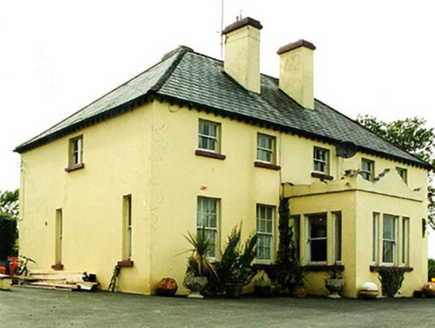
Convent of MercyConvent/nunnery · 3.7 mi

Explorer Tom Convent of Mercy in Leckanvy is watching a poet fall into a ditch nearby with mild interest. It’s all about that…
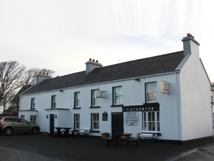
T. StauntonFarm house · 3.7 mi

Explorer Tom T. Staunton farm house in Thornhill is a reconstruction of an old structure that has retained its core identity. It…
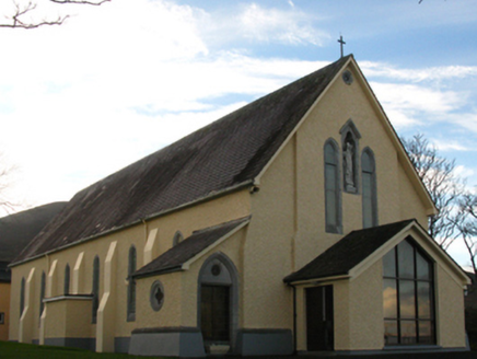
Saint Patrick's Catholic ChurchChurch/chapel · 3.7 mi

Explorer Tom Saint Patrick's Catholic Church in Thornhill would bring a bag of potato chips to any party it attended. It’s a…

Crott MountainMountain / peak · 4.7 mi

Explorer Tom Crott Mountain refuses to fall down because it thinks it has a very strong sense of duty that keeps it glued to the…

Fairy fort / stone ringfort in BellataleenFairy fort / stone ringfort · 5.1 mi

Explorer Tom Fairy fort / stone ringfort in Bellataleen is having a dramatic fight with the nearest tree because the tree’s roots…

Megalithic tomb in LoughaunaMegalithic tomb · 18 mi

Explorer Tom Megalithic tomb in Loughauna is basically a pile of rocks that thinks it’s a fancy palace, which the rabbits find…

Station House MuseumMuseum · 21 mi

Explorer Tom Station House Museum in County Galway thinks the road leading to it is the most boring thing since sliced bread. It…
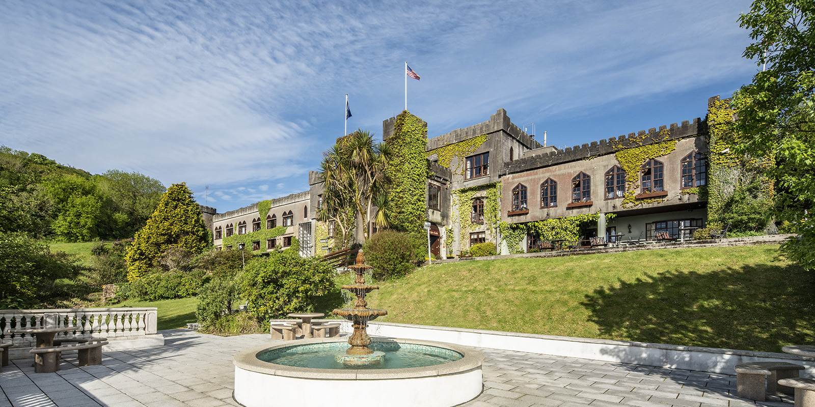
Abbeyglen Castle HotelCastle · 21 mi

Explorer Tom Tristaun's inscribed stone is sitting on a knoll, looking incredibly smug about how illegible its writing has become…
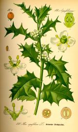
English holly21 mi

Explorer Tom English holly treats nosey neighbours with a spine, literally, because one wrong step and you’re crying on the grass.…
Hawthorn21 mi

Explorer Tom The Hawthorn in County Galway has a secret talent for hiding acorns from squirrels that are actually just shiny…

Mannin BayBay · 24 mi

Explorer Tom Mannin Bay in County Galway nearly made it big when a shipwreck almost happened there in 1847. The bay was ready to be…

More archaeology and monuments in County Mayo · All of County Mayo

Add to this placeAdd a picture Add a detailed tip Add a story

Explore the map1,095,414 places to discover

Next place · or swipeBen Goram