What is recorded here
Situated on a ridge running NE-SW, in undulating pasture, with fairly good views in all directions. Not depicted on the 1837 OS 6-inch map or on the revised 1913 ed. OS 25-inch map. Monument described in 1978 as a large complex of low earthen banks and scarps extending along a natural ridge. The banks seem to form a series of rectilinear enclosures and there are three associated house sites (WM026-072001-) forming part of the system. The complex is crossed by later E-W field banks and drains running E-W and is delimited on the N by one such field bank. Outline of earthworks clearly visible on oblique aerial photograph (CUCAP AOY056) taken 12/07/1966.
Compiled by Alison McQueen, Vera Rahilly and Caimin O’Brien.
Date of upload: 02 October 2019
The monument record does not grant public access. Check the route and ask the landowner before entering private land.
- What survives
- Recorded monument
Places near here
 Hut site in Corbally (fartullagh By.)Hut site · 1 yd
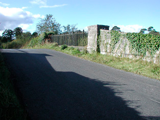 bridgebridge · 413 yd
 Partially hachuredFairy fort / earthen ringfort · 415 yd
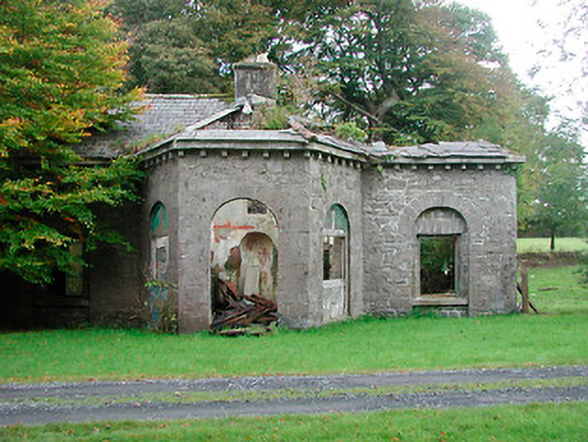 Gaybrook Housegate lodge · 620 yd
 CastleCastle, tower house · 1.3 mi
 Bawn in Simonstown (fartullagh By.)Bawn · 1.4 mi
 Dysart IslandIsland · 4.7 mi
 Ash IslandIslet · 4.8 mi
 United Nations War MemorialMemorial · 4.9 mi
 Roundhill WoodForest · 11 mi
 Fulacht fia in Corbally (fartullagh By.)Fulacht fia · 417 yd
 Ecclesiastical enclosure in CatherinestownEcclesiastical enclosure · 714 yd